La Pintada — Guayabal
La Pintada — Quibdo
La Pintada — Gamboa
La Pintada — La Esmeralda
La Pintada — Barranca
La Pintada — Itagüí
La Pintada — Bogotá
La Pintada — Cunday
La Pintada — Tadó
La Pintada — Cartagena
La Pintada — Policarpa Salavarrieta
La Pintada — TIERRADENTRO
La Pintada — Tolú
La Pintada — San Martín de Loba
La Pintada — Puerto Alvira
La Pintada — Pelaya
La Pintada — Barranco Colorado
La Pintada — Bituima
La Pintada — Río Quito
Valparaíso
Caramanta
Marmato
La Merced
LA FELISA
Irra
Arauca
TEJAR
Las Pavas
Chinchina
Chinchiná
La Pintada — Santa Rosa De Cabal distance, route on the map
Distance by car
Distance between La Pintada, Antioquia, Colombia and Santa Rosa De Cabal, Risaralda, Colombia by car is — km, or miles. To travel this distance by car, you need minute, or h.
Route on the map, driving directions
Car route La Pintada — Santa Rosa De Cabal was created automatically. The road on the map is shown as a blue line. By moving the markers, you can create a new route through the points you need.
Passing cities through which the car route passes: Valparaiso, Valparaíso, Caramanta, Marmato, La Merced, LA FELISA, Irra, Arauca, TEJAR, Las Pavas, Chinchina, Chinchiná.
Distance by plane
If you decide to take a trip La Pintada Santa Rosa De Cabal by plane, then you have to fly the distance — 98 km or 61 miles. It is marked on the map with a gray line (between two points in a straight line).
Flight time
Estimated flight time La Pintada Santa Rosa De Cabal by plane at cruising speed 750 km / h will be — 7 min.
Direction of movement
Colombia, La Pintada — right-hand traffic. Colombia, Santa Rosa De Cabal — right-hand traffic.
Difference in time
La Pintada and Santa Rosa De Cabal are in the same time zone. Between them there is no time difference (UTC -5 America/Bogota).
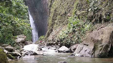
Interesting Facts
Information on alternative ways to get to your destination.
The length of this distance is about 0.2% of the total length of the equator.
The percentage of the population is clearly shown in the graph:
La Pintada — 5,342 (less by 52,587), Santa Rosa De Cabal — 57,929 residents.
The cost of travel
Calculate the cost of the trip yourself using the fuel consumption calculator, changing the data in the table.