Porto Franco — Bonfim
Porto Franco — Itanhomi
Porto Franco — Carangola
Porto Franco — Goiatuba
Porto Franco — Aiuruoca
Porto Franco — Russas
Porto Franco — Dom Pedrito
Porto Franco — Itápolis
Porto Franco — Barreirinhas
Porto Franco — Ipatinga
Porto Franco — Ipirá
Porto Franco — Trovão
Porto Franco — Ituverava
Porto Franco — Niterói
Porto Franco — Boa Esperança
Porto Franco — Jaguarão
Porto Franco — Chuí
Porto Franco — Fernão
Porto Franco — Nioaque
Nova Olinda
Colinas do Tocantins
Miranorte
Paraíso do Tocantins
Gurupi
Cariri do Tocantins
Porangatu
Uruaçu
Rialma
Nerópolis
Goiânia Airport
Goiânia
Hidrolândia
Morrinhos
Itumbiara
Araporã
Centralina
Gerson Baduy I
Iturama
Jales
Urânia
São Francisco
Marinópolis
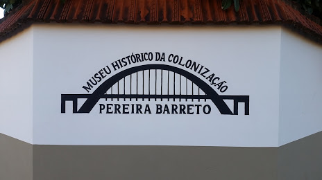
Porto Franco — Pereira Barreto distance, route on the map
Distance by car
Distance between Porto Franco, Maranhão, Brazil and Pereira Barreto, São Paulo, Brazil by car is — km, or miles. To travel this distance by car, you need minute, or h.
Route on the map, driving directions
Car route Porto Franco — Pereira Barreto was created automatically. The road on the map is shown as a blue line. By moving the markers, you can create a new route through the points you need.
Passing cities through which the car route passes: Araguaína, Nova Olinda, Colinas do Tocantins, Miranorte, Paraíso do Tocantins, Gurupi, Cariri do Tocantins, Porangatu, Uruaçu, Rialma, Nerópolis, Goiânia Airport, Goiânia, Hidrolândia, Morrinhos, Itumbiara, Araporã, Centralina, Gerson Baduy I, Iturama, Jales, Urânia, São Francisco, Marinópolis.
Distance by plane
If you decide to take a trip Porto Franco Pereira Barreto by plane, then you have to fly the distance — 1640 km or 1017 miles. It is marked on the map with a gray line (between two points in a straight line).
Flight time
Estimated flight time Porto Franco Pereira Barreto by plane at cruising speed 750 km / h will be — 2 h. and 11 min.
Direction of movement
Brazil, Porto Franco — right-hand traffic. Brazil, Pereira Barreto — right-hand traffic.
Difference in time
Porto Franco and Pereira Barreto are in the same time zone. Between them there is no time difference (UTC -3 America/Fortaleza).
Interesting Facts
Information on alternative ways to get to your destination.
The length of this distance is about 4.1% of the total length of the equator.
The percentage of the population is clearly shown in the graph:
Porto Franco — 14,874 (less by 7,663), Pereira Barreto — 22,537 residents.
The cost of travel
Calculate the cost of the trip yourself using the fuel consumption calculator, changing the data in the table.