Acari
Tibau do Sul
São Gonçalo do Amarante
Alhandra
Alcântara
Pontalina
Cassilândia
Guapó
Rio Azul
Santana do Livramento
Goianápolis
Nerópolis
Catende
Canavieiras
Surubim
Mundo Novo
Marco
Iraquara
Urandi
Acari
Tibau do Sul
São Gonçalo do Amarante
Alhandra
Alcântara
Pontalina
Cassilândia
Guapó
Rio Azul
Santana do Livramento
Goianápolis
Nerópolis
Catende
Canavieiras
Surubim
Mundo Novo
Marco
Iraquara
Urandi
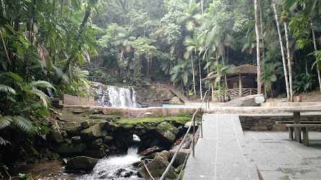
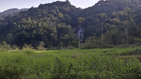
Ilhota on the map, Brazil
Where is located Ilhota
Exact location — Ilhota, Ilhota, Santa Catarina, Brazil, marked on the map with a red marker.
Coordinates
Ilhota, Brazil coordinates in decimal format: latitude — -26.9027829, longitude — -48.8255937. When converted to degrees, minutes, seconds Ilhota has the following coordinates: -26°54′10.02 north latitude and -48°49′32.14 east longitude.
Population
Ilhota, Ilhota, Santa Catarina, Brazil, according to our data the population is — 10,023 residents, which is about 0% of the total population of the country (Brazil).
Comparison of the population on the graph:
Exact time
Time zone for this location Ilhota — UTC -3 America/Sao_Paulo. Exact time — sunday, 4 april 2024 year, 22 h. 03 minutes.
Sunrise and sunset
Ilhota, sunrise and sunset data for a date — sunday 28.04.2024.
| Sunrise | Sunset | Day (duration) |
|---|---|---|
| 06:41 +1 minute | 17:43 -1 minute | 11 h. 0 minutes. -2 minutes |
You can control the scale of the map using the auxiliary tools to find out exactly where it is located Ilhota. When you change the scale of the map, the width of the ruler also changes (in kilometers and miles).
Nearby cities
The largest cities that are located nearby:
- Itajaí — 15 km
- Blumenau — 24 km
- Jaraguá do Sul — 53 km
- Joinville — 66 km
- São José — 81 km
- Florianópolis — 81 km
- Palhoça — 84 km
- São José dos Pinhais — 156 km
- Paranaguá — 156 km
- Araucária — 157 km
- Pinhais — 165 km
- Curitiba — 169 km
- Lages — 178 km
- Colombo — 182 km
- Criciúma — 203 km
- Guarapuava — 312 km
- Caxias do Sul — 338 km
- Chapecó — 374 km
- Itapetininga — 375 km
Distance to neighboring capitals:
- Asuncion
 (Paraguay) — 893 km
 - Asuncion (Paraguay) — 898 km
- Montevideo
 (Uruguay) — 1131 km
 - Buenos Aires
 (Argentina) — 1251 km
 - Santiago
 (Chile) — 2216 km
 - Nuestra Señora de La Paz
 (Bolivia) — 2303 km
 - Paramaribo
 (Suriname) — 3707 km
 - Georgetown
 (Guyana) — 3881 km
 - Quito
 (Ecuador) — 4344 km
 - Bogota
 (Colombia) — 4433 km
 - Caracas
 (Venezuela) — 4598 km