Campestre — Petrolina
Campestre — Formiga
Campestre — Atalaia
Campestre — Itapipoca
Campestre — Espírito Santo
Campestre — Rodelas
Campestre — Iconha
Campestre — Paulo Jacinto
Campestre — Zumbi
Campestre — Dores do Rio Preto
Campestre — Amontada
Campestre — Águas Claras
Campestre — Itá
Campestre — Soure
Campestre — Anadia
Campestre — Aracati
Campestre — Brazil
Campestre — Ubatuba
Campestre — Serra Talhada
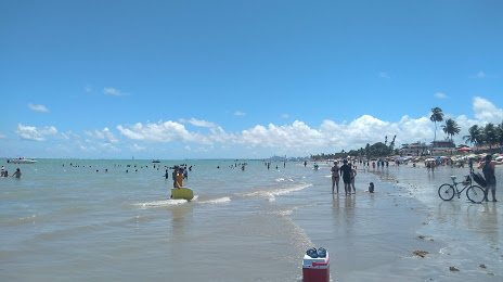
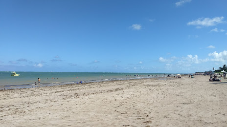
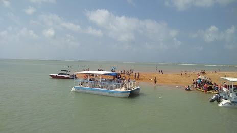
Campestre — Cabedelo distance, route on the map
Distance by car
Distance between Campestre, Minas Gerais, Brazil and Cabedelo, Paraíba, Brazil by car is — km, or miles. To travel this distance by car, you need minute, or h.
Route on the map, driving directions
Car route Campestre — Cabedelo was created automatically. The road on the map is shown as a blue line. By moving the markers, you can create a new route through the points you need.
Distance by plane
If you decide to take a trip Campestre Cabedelo by plane, then you have to fly the distance — 2046 km or 1269 miles. It is marked on the map with a gray line (between two points in a straight line).
Flight time
Estimated flight time Campestre Cabedelo by plane at cruising speed 750 km / h will be — 2 h. and 43 min.
Direction of movement
Brazil, Campestre — right-hand traffic. Brazil, Cabedelo — right-hand traffic.
Difference in time
Campestre and Cabedelo are in the same time zone. Between them there is no time difference (UTC -3 America/Sao_Paulo).
Interesting Facts
Information on alternative ways to get to your destination.
The length of this distance is about 5.1% of the total length of the equator.
The percentage of the population is clearly shown in the graph:
Campestre — 11,802 (less by 43,039), Cabedelo — 54,841 residents.
The cost of travel
Calculate the cost of the trip yourself using the fuel consumption calculator, changing the data in the table.