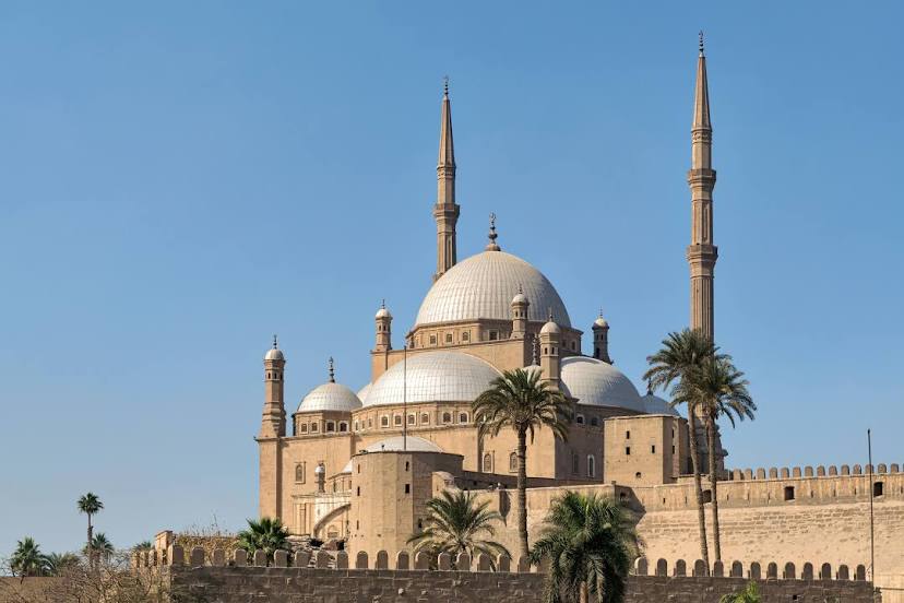
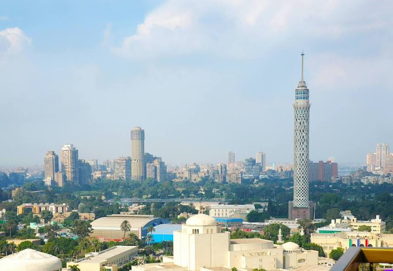
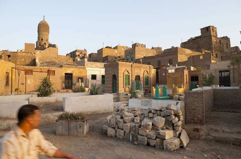
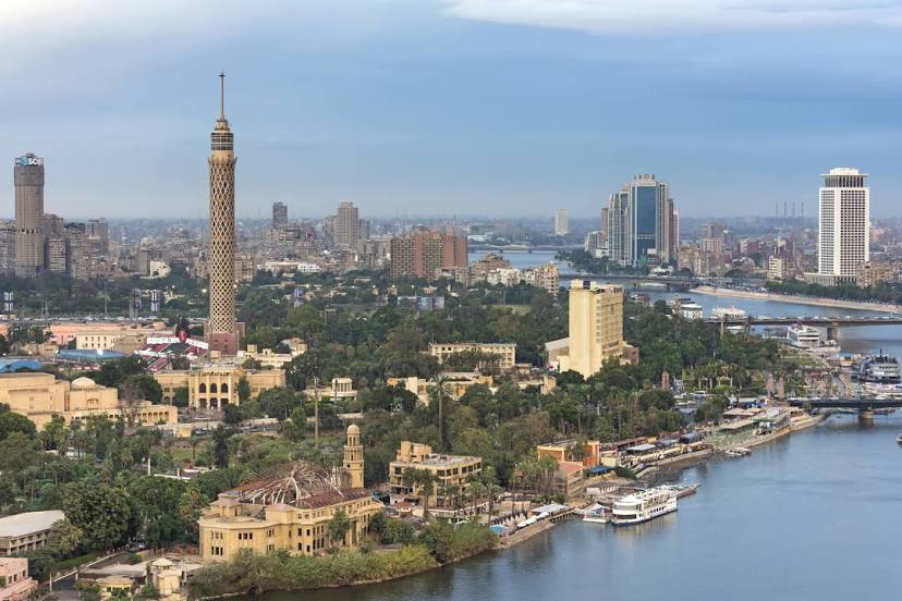
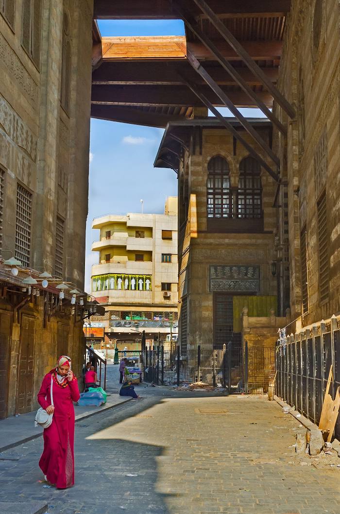
Cairo on the map, Egypt
Where is located Cairo
Exact location — Cairo, Cairo Governorate, Egypt, marked on the map with a red marker.
Coordinates
Cairo, Egypt coordinates in decimal format: latitude — 30.0444196, longitude — 31.2357116. When converted to degrees, minutes, seconds Cairo has the following coordinates: 30°2′39.91 north latitude and 31°14′8.56 east longitude.
Population
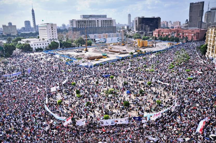
Cairo, Cairo Governorate, Egypt, according to our data the population is — 7,734,614 residents, which is about 7.6% of the total population of the country (Egypt).
Comparison of the population on the graph:
Exact time
Time zone for this location Cairo — UTC +2 Africa/Cairo. Exact time — saturday, 5 may 2024 year, 00 h. 54 minutes.
Sunrise and sunset
Cairo, sunrise and sunset data for a date — saturday 4.05.2024.
| Sunrise | Sunset | Day (duration) |
|---|---|---|
| 05:11 -1 minute | 18:31 -0 minutes | 13 h. 18 minutes. +1 minute |
You can control the scale of the map using the auxiliary tools to find out exactly where it is located Cairo. When you change the scale of the map, the width of the ruler also changes (in kilometers and miles).
Nearby cities
The largest cities that are located nearby:
- Qalyub — 15 km
- Banha — 47 km
- Zagazig — 64 km
- Beni Suef — 109 km
- Talkha — 113 km
- Ismailia — 116 km
- Suez — 126 km
- Idku — 165 km
- Port Said — 168 km
- Alexandria — 178 km
- Mallawi — 258 km
- Asyut — 317 km
- Ashqelon
 (Israel) — 362 km
 - Ashdod (Israel) — 376 km
- Sohag — 388 km
- Bat Yam (Israel) — 395 km
- Tel Aviv-Yafo (Israel) — 402 km
- Ramat Gan (Israel) — 404 km
- Jerusalem (Israel) — 420 km
Distance to neighboring capitals:
- Jerusalem (Israel) — 425 km
- Amman
 (Jordan) — 497 km
 - Damascus
 (Syria) — 614 km
 - Baghdad
 (Iraq) — 1299 km
 - Kuwait City
 (Kuwait) — 1618 km
 - Khartoum
 (Sudan) — 1623 km
 - Riyadh
 (Saudi Arabia) — 1642 km
 - Tripoli
 (Libya) — 1739 km
 - Manama
 (Bahrain) — 1942 km
 - Doha
 (Qatar) — 2065 km
 - Muscat Governorate
 (Oman) — 2778 km
 - Juba (Southern Sudan) — 2801 km