
 Sabana Grande
Omoa
El Zapote
Cofradía
Trinidad de Quebrada
Las Lajas
La Paz
San Jose
Olanchito
Zambrano
Santa Ana
Tela
Santa Lucia
Valle de Angeles
Villa de San Francisco
Teupasenti
La Jutosa
Villanueva
El Progreso
Sabana Grande
Omoa
El Zapote
Cofradía
Trinidad de Quebrada
Las Lajas
La Paz
San Jose
Olanchito
Zambrano
Santa Ana
Tela
Santa Lucia
Valle de Angeles
Villa de San Francisco
Teupasenti
La Jutosa
Villanueva
El Progreso
Catacamas on the map, Honduras
Where is located Catacamas
Exact location — Catacamas, Olancho, Honduras, marked on the map with a red marker.
Coordinates
Catacamas, Honduras coordinates in decimal format: latitude — 14.8437223, longitude — -85.8793252. When converted to degrees, minutes, seconds Catacamas has the following coordinates: 14°50′37.4 north latitude and -85°52′45.57 east longitude.
Population
Catacamas, Olancho, Honduras, according to our data the population is — 33,052 residents, which is about 0.3% of the total population of the country (Honduras).
Comparison of the population on the graph:
Exact time
Time zone for this location Catacamas — UTC -6 America/Tegucigalpa. Exact time — monday, 4 april 2024 year, 11 h. 16 minutes.
Sunrise and sunset
Catacamas, sunrise and sunset data for a date — monday 29.04.2024.
| Sunrise | Sunset | Day (duration) |
|---|---|---|
| 05:23 -1 minute | 17:57 -0 minutes | 12 h. 36 minutes. +1 minute |
You can control the scale of the map using the auxiliary tools to find out exactly where it is located Catacamas. When you change the scale of the map, the width of the ruler also changes (in kilometers and miles).
Nearby cities
The largest cities that are located nearby:
- La Ceiba — 144 km
- El Progreso — 214 km
- Choloma — 235 km
- San Pedro Sula — 241 km
- Chinandega
 (Nicaragua) — 280 km
 - Lion (Nicaragua) — 287 km
- San Miguel
 (El Salvador) — 290 km
 - Managua (Nicaragua) — 302 km
- Masaya (Nicaragua) — 318 km
- Soyapango (El Salvador) — 372 km
- Apopa (El Salvador) — 372 km
- Mejicanos (El Salvador) — 379 km
- San Salvador (El Salvador) — 381 km
- Santa Tecla (El Salvador) — 388 km
- Santa Ana (El Salvador) — 407 km
- Chetumal
 (Mexico) — 477 km
 - Villa Canales
 (Guatemala) — 498 km
 - Guatemala City (Guatemala) — 499 km
- Villa Nueva (Guatemala) — 505 km
Distance to neighboring capitals:
- Managua (Nicaragua) — 304 km
- San Salvador (El Salvador) — 382 km
- Belmopan
 (Belize) — 409 km
 - Guatemala City (Guatemala) — 501 km
- San Jose
 (Costa Rica) — 580 km
 - Mexico City (Mexico) — 1498 km
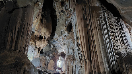
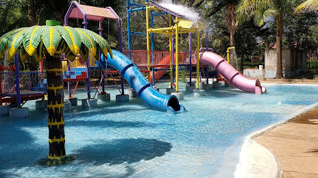
Attractions
Distance to the capital
Distance to the capital (Tegucigalpa) is about — 167 km.