
 Talanga
Catacamas
Danli
El Terrero
Siguatepeque
Chivana
Lagune Verdo
Prieta
Tocoa
LA GUAMA
San Pedro Sula
La Ceiba
San Pedro Sula
Tegucigalpa
Morazan
Talanga
Catacamas
Danli
El Terrero
Siguatepeque
Chivana
Lagune Verdo
Prieta
Tocoa
LA GUAMA
San Pedro Sula
La Ceiba
San Pedro Sula
Tegucigalpa
Morazan
Tela on the map, Honduras
Where is located Tela
Exact location — Tela, Atlantida, Honduras, marked on the map with a red marker.
Coordinates
Tela, Honduras coordinates in decimal format: latitude — 15.7732601, longitude — -87.4653502. When converted to degrees, minutes, seconds Tela has the following coordinates: 15°46′23.74 north latitude and -87°27′55.26 east longitude.
Population
Tela, Atlantida, Honduras, according to our data the population is — 29,329 residents, which is about 0.3% of the total population of the country (Honduras).
Comparison of the population on the graph:
Exact time
Time zone for this location Tela — UTC -6 America/Tegucigalpa. Exact time — sunday, 5 may 2024 year, 14 h. 21 minute.
Sunrise and sunset
Tela, sunrise and sunset data for a date — sunday 5.05.2024.
| Sunrise | Sunset | Day (duration) |
|---|---|---|
| 05:26 -0 minutes | 18:06 -0 minutes | 12 h. 42 minutes. -0 minutes |
You can control the scale of the map using the auxiliary tools to find out exactly where it is located Tela. When you change the scale of the map, the width of the ruler also changes (in kilometers and miles).
Nearby cities
The largest cities that are located nearby:
- Choloma — 55 km
- El Progreso — 55 km
- La Ceiba — 67 km
- San Pedro Sula — 68 km
- San Miguel
 (El Salvador) — 265 km
 - Apopa (El Salvador) — 285 km
- Soyapango (El Salvador) — 290 km
- Mejicanos (El Salvador) — 293 km
- San Salvador (El Salvador) — 297 km
- Santa Ana (El Salvador) — 300 km
- Santa Tecla (El Salvador) — 304 km
- Chetumal
 (Mexico) — 314 km
 - Chinandega
 (Nicaragua) — 350 km
 - Guatemala City
 (Guatemala) — 353 km
 - Villa Canales (Guatemala) — 356 km
- San Juan Sacatepéquez (Guatemala) — 359 km
- Villa Nueva (Guatemala) — 361 km
- Lion (Nicaragua) — 375 km
- Escuintla (Guatemala) — 391 km
Distance to neighboring capitals:
- Belmopan
 (Belize) — 215 km
 - San Salvador (El Salvador) — 298 km
- Guatemala City (Guatemala) — 354 km
- Managua (Nicaragua) — 425 km
- San Jose
 (Costa Rica) — 746 km
 - Mexico City (Mexico) — 1302 km
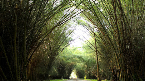
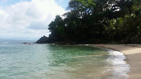
Attractions
Distance to the capital
Distance to the capital (Tegucigalpa) is about — 190 km.