
 Santa Lucia
Tela
Santa Ana
Zambrano
San Manuel
El Porvenir
Coxen Hole
Puerto Cortes
Flores
Santa Lucia
Tela
Santa Ana
Zambrano
San Manuel
El Porvenir
Coxen Hole
Puerto Cortes
Flores
La Ceiba on the map, Honduras
Where is located La Ceiba
Exact location — La Ceiba, Atlantida, Honduras, marked on the map with a red marker.
Coordinates
La Ceiba, Honduras coordinates in decimal format: latitude — 15.766667, longitude — -86.833333. When converted to degrees, minutes, seconds La Ceiba has the following coordinates: 15°46′0 north latitude and -86°49′60 east longitude.
Population
La Ceiba, Atlantida, Honduras, according to our data the population is — 130,230 residents, which is about 1.3% of the total population of the country (Honduras).
Comparison of the population on the graph:
Exact time
Time zone for this location La Ceiba — UTC -6 America/Tegucigalpa. Exact time — sunday, 5 may 2024 year, 08 h. 44 minutes.
Sunrise and sunset
La Ceiba, sunrise and sunset data for a date — sunday 5.05.2024.
| Sunrise | Sunset | Day (duration) |
|---|---|---|
| 05:23 -1 minute | 18:04 -0 minutes | 12 h. 42 minutes. +1 minute |
You can control the scale of the map using the auxiliary tools to find out exactly where it is located La Ceiba. When you change the scale of the map, the width of the ruler also changes (in kilometers and miles).
Nearby cities
The largest cities that are located nearby:
- El Progreso — 111 km
- Choloma — 120 km
- San Pedro Sula — 131 km
- San Miguel
 (El Salvador) — 291 km
 - Apopa (El Salvador) — 332 km
- Soyapango (El Salvador) — 336 km
- Chetumal
 (Mexico) — 339 km
 - Mejicanos (El Salvador) — 340 km
- San Salvador (El Salvador) — 344 km
- Chinandega
 (Nicaragua) — 349 km
 - Santa Tecla (El Salvador) — 351 km
- Santa Ana (El Salvador) — 353 km
- Lion (Nicaragua) — 369 km
- Managua (Nicaragua) — 406 km
- Guatemala City
 (Guatemala) — 416 km
 - Villa Canales (Guatemala) — 419 km
- San Juan Sacatepéquez (Guatemala) — 424 km
- Villa Nueva (Guatemala) — 425 km
- Masaya (Nicaragua) — 427 km
Distance to neighboring capitals:
- Belmopan
 (Belize) — 264 km
 - San Salvador (El Salvador) — 345 km
- Managua (Nicaragua) — 409 km
- Guatemala City (Guatemala) — 418 km
- San Jose
 (Costa Rica) — 714 km
 - Mexico City (Mexico) — 1366 km
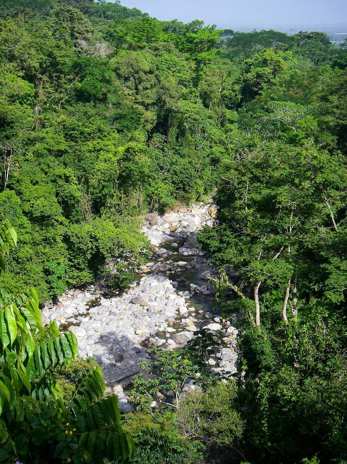
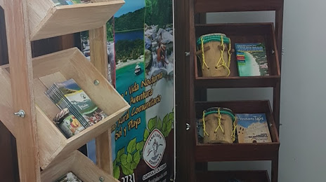
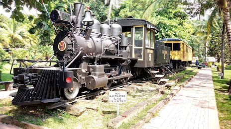
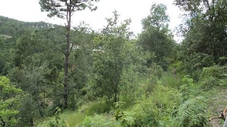
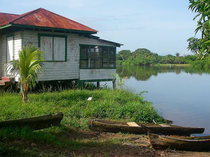
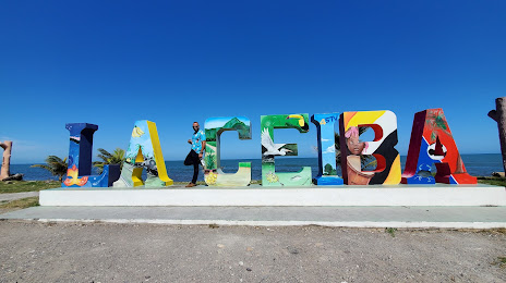
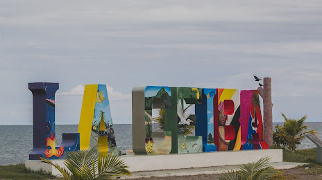
Attractions
Distance to the capital
Distance to the capital (Tegucigalpa) is about — 192 km.