
 Gilserberg
Berlin
Bordesholm
Bechtolsheim
Aub
Triptis
Heppenheim
Biblis
Angermünde
Gilserberg
Berlin
Bordesholm
Bechtolsheim
Aub
Triptis
Heppenheim
Biblis
Angermünde
Datteln-Hamm Canal on the map, Hamm, Germany
Photo
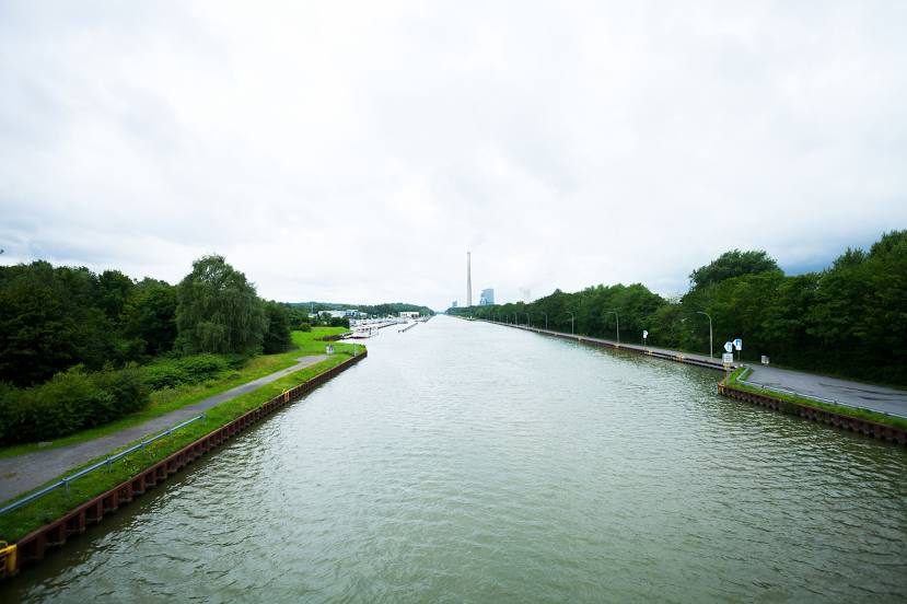
Where is located Datteln-Hamm Canal
Datteln-Hamm Canal — local attraction, which is located at 47.2 km (29 mi) and belongs to the category — -. Average visitor rating for this place — 4.4 (according to 36 ratings, information from open sources and relevant for 2022).
Exact location — Datteln-Hamm Canal, marked on the map with a red marker.
You can get directions to Datteln-Hamm Canal on the map from your location.
What else is interesting in Hamm? You can see all the sights if you go to the city page.
Coordinates
Datteln-Hamm Canal, Germany coordinates in decimal format: latitude — 51.69608091575168, longitude — 7.888955556117891. When converted to degrees, minutes, seconds Datteln-Hamm Canal has the following coordinates: 51°41′45.89 north latitude and 7°53′20.24 east longitude.
Nearby cities
The largest cities that are located nearby:
- Dortmund — 30 km
- Münster — 34 km
- Witten — 41 km
- Hagen — 42 km
- Recklinghausen — 43 km
- Herne — 45 km
- Bochum — 46 km
- Gelsenkirchen — 53 km
- Essen — 60 km
- Bottrop — 62 km
- Bielefeld — 63 km
- Paderborn — 65 km
- Wuppertal — 65 km
- Oberhausen — 68 km
- Osnabrück — 69 km
- Remscheid — 70 km
- Mülheim — 70 km
- Solingen — 75 km
- Duisburg — 77 km
Distance to the capital
Distance to the capital (Berlin) is about — 388 km.