Alt Rehse — Haserich
Alt Rehse — Eppstein
Alt Rehse — Künzing
Alt Rehse — Eppishofen
Alt Rehse — Döhlau
Alt Rehse — Raddenfort
Alt Rehse — Jonaswalde
Alt Rehse — Frestedt
Alt Rehse — Sippersfeld
Alt Rehse — Oppen
Alt Rehse — Nassenhausen
Alt Rehse — Harsberg
Alt Rehse — Pirna
Alt Rehse — Ingersheim
Alt Rehse — Bassenheim
Alt Rehse — Lichtenow
Alt Rehse — Ribnitz-Damgarten
Alt Rehse — Osterheide
Alt Rehse — Schacht-Audorf
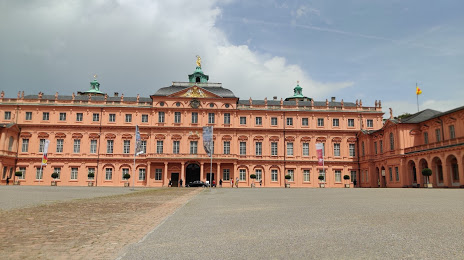
Alt Rehse — Rastatt distance, route on the map
Distance by car
Distance between Alt Rehse, Mecklenburg-Vorpommern, Germany and Rastatt, Baden-Württemberg, Germany by car is — km, or miles. To travel this distance by car, you need minute, or h.
Route on the map, driving directions
Car route Alt Rehse — Rastatt was created automatically. The road on the map is shown as a blue line. By moving the markers, you can create a new route through the points you need.
Distance by plane
If you decide to take a trip Alt Rehse Rastatt by plane, then you have to fly the distance — 621 km or 385 miles. It is marked on the map with a gray line (between two points in a straight line).
Flight time
Estimated flight time Alt Rehse Rastatt by plane at cruising speed 750 km / h will be — 49 min.
Direction of movement
Germany, Alt Rehse — right-hand traffic. Germany, Rastatt — right-hand traffic.
Difference in time
Alt Rehse and Rastatt are in the same time zone. Between them there is no time difference (UTC +2 Europe/Berlin).
Interesting Facts
Information on alternative ways to get to your destination.
The length of this distance is about 1.5% of the total length of the equator.
The percentage of the population is clearly shown in the graph:
Alt Rehse — 361 (less by 48,091), Rastatt — 48,452 residents.
The cost of travel
Calculate the cost of the trip yourself using the fuel consumption calculator, changing the data in the table.