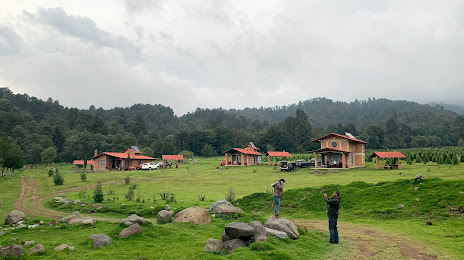
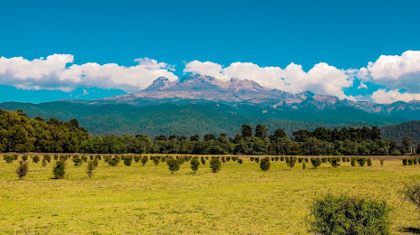
Atotonilco el Grande — Calpulalpan
Atotonilco el Grande — Sahuaripa
Atotonilco el Grande — Tetiz Municipality
Atotonilco el Grande — Progreso
Atotonilco el Grande — Pénjamo
Atotonilco el Grande — Cocula
Atotonilco el Grande — Colima
Atotonilco el Grande — El Otatal
Atotonilco el Grande — Agua Fresca
Atotonilco el Grande — Tameapa
Atotonilco el Grande — La Llave
Atotonilco el Grande — Susupuato de Guerrero
Atotonilco el Grande — The delights
Atotonilco el Grande — Zihuatanejo
Atotonilco el Grande — Loma Linda
Atotonilco el Grande — Cuatro Caminos
Atotonilco el Grande — Santa Cruz Mixtepec
Atotonilco el Grande — San José el Vidrio
Atotonilco el Grande — Panotla
Mineral del Monte
Real del Monte
Pachuca
Chain
Hidalgo
La Providencia
Zempoala
Nopaltepec
Axapusco
San Martin of the Pyramids
San Juan Teotihuacan de Arista
Teotihuacan de Arista
Acolman
Tezoyuca
Chiconcuac de Juárez
Atenco
Texcoco
Montecillo
Center
San Buenaventura
Ixtapaluca
San Marcos Huixtoco
Chalco de Díaz Covarrubias
Chalco de Díaz Covarrubias
Cocotitlán
Tlalmanalco
Ayapango
Amecameca
Atotonilco el Grande — Amecameca distance, route on the map
Distance by car
Distance between Atotonilco el Grande, Hidalgo, Mexico and Amecameca, State of Mexico, Mexico by car is — km, or miles. To travel this distance by car, you need minute, or h.
Route on the map, driving directions
Car route Atotonilco el Grande — Amecameca was created automatically. The road on the map is shown as a blue line. By moving the markers, you can create a new route through the points you need.
Passing cities through which the car route passes: Huasca de Ocampo, Mineral del Monte, Real del Monte, Pachuca, Chain, Hidalgo, La Providencia, Zempoala, Nopaltepec, Axapusco, San Martin of the Pyramids, San Juan Teotihuacan de Arista, Teotihuacan de Arista, Acolman, Tezoyuca, Chiconcuac de Juárez, Atenco, Texcoco, Montecillo, Center, San Buenaventura, Ixtapaluca, San Marcos Huixtoco, Chalco de Díaz Covarrubias, Chalco de Díaz Covarrubias, Cocotitlán, Tlalmanalco, Ayapango, Amecameca.
Distance by plane
If you decide to take a trip Atotonilco el Grande Amecameca by plane, then you have to fly the distance — 130 km or 81 miles. It is marked on the map with a gray line (between two points in a straight line).
Flight time
Estimated flight time Atotonilco el Grande Amecameca by plane at cruising speed 750 km / h will be — 10 min.
Direction of movement
Mexico, Atotonilco el Grande — right-hand traffic. Mexico, Amecameca — right-hand traffic.
Difference in time
Atotonilco el Grande and Amecameca are in the same time zone. Between them there is no time difference (UTC -6 America/Mexico_City).
Interesting Facts
Information on alternative ways to get to your destination.
The length of this distance is about 0.3% of the total length of the equator.
The percentage of the population is clearly shown in the graph:
Atotonilco el Grande — 6,871 (less by 24,848), Amecameca — 31,719 residents.
The cost of travel
Calculate the cost of the trip yourself using the fuel consumption calculator, changing the data in the table.