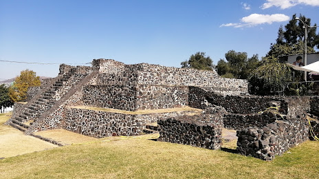
Yecapixtla — Atoyatempan
Yecapixtla — Tantima
Yecapixtla — Jerez de García Salinas
Yecapixtla — Catemaco
Yecapixtla — Tezoyuca
Yecapixtla — Acatlán de Juárez
Yecapixtla — El Baluarte
Yecapixtla — Santa Rita
Yecapixtla — Alto Lucero
Yecapixtla — Santa Cruz de Miramar
Yecapixtla — Cuautitlan
Yecapixtla — Hacienda de San Juan de Buenavista
Yecapixtla — Chacahua
Yecapixtla — Sauz de Abajo
Yecapixtla — Cuitzeo
Yecapixtla — El Playón
Yecapixtla — Zapotlanejo
Yecapixtla — La Venta del Astillero
Yecapixtla — Martínez de la Torre
Atlatlahucan
Totolapan
Atlautla
Ayapango de Gabriel Ramos Millán
Amecameca
Amecameca
Ayapango
Tlalmanalco
Cocotitlán
Chalco de Díaz Covarrubias
Chalco de Díaz Covarrubias
San Marcos Huixtoco
Ixtapaluca
Center
Ixtapaluca
La Paz
Valle de los Reyes
San Sebastian
Yecapixtla — Ciudad Nezahualcóyotl distance, route on the map
Distance by car
Distance between Yecapixtla, Morelos, Mexico and Ciudad Nezahualcóyotl, State of Mexico, Mexico by car is — km, or miles. To travel this distance by car, you need minute, or h.
Route on the map, driving directions
Car route Yecapixtla — Ciudad Nezahualcóyotl was created automatically. The road on the map is shown as a blue line. By moving the markers, you can create a new route through the points you need.
Passing cities through which the car route passes: Atlatlahucan, Atlatlahucan, Totolapan, Atlautla, Ayapango de Gabriel Ramos Millán, Amecameca, Amecameca, Ayapango, Tlalmanalco, Cocotitlán, Chalco de Díaz Covarrubias, Chalco de Díaz Covarrubias, San Marcos Huixtoco, Ixtapaluca, Center, Ixtapaluca, La Paz, Valle de los Reyes, San Sebastian.
Distance by plane
If you decide to take a trip Yecapixtla Ciudad Nezahualcóyotl by plane, then you have to fly the distance — 60 km or 37 miles. It is marked on the map with a gray line (between two points in a straight line).
Flight time
Estimated flight time Yecapixtla Ciudad Nezahualcóyotl by plane at cruising speed 750 km / h will be — 4 min.
Direction of movement
Mexico, Yecapixtla — right-hand traffic. Mexico, Ciudad Nezahualcóyotl — right-hand traffic.
Difference in time
Yecapixtla and Ciudad Nezahualcóyotl are in the same time zone. Between them there is no time difference (UTC -6 America/Mexico_City).
Interesting Facts
Information on alternative ways to get to your destination.
The length of this distance is about 0.1% of the total length of the equator.
The percentage of the population is clearly shown in the graph:
Yecapixtla — 14,431 (less by 1,217,789), Ciudad Nezahualcóyotl — 1,232,220 residents.
The cost of travel
Calculate the cost of the trip yourself using the fuel consumption calculator, changing the data in the table.