La Llave — Cuchicuato
La Llave — Ejido San Sebastián de las Barrancas
La Llave — Zinapecuaro de Figueroa
La Llave — Tecuala
La Llave — Center
La Llave — Tultitlán
La Llave — Lázaro Cárdenas Municipality
La Llave — Tetela del Volcán
La Llave — Huetamo
La Llave — Villanueva
La Llave — Apodaca
La Llave — General Roberto Fierro Villalobos International Airport
La Llave — Loreto
La Llave — Quiriego
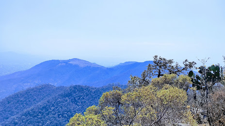
La Llave — Good view
La Llave — El Tintal
La Llave — Las Esmeraldas
La Llave — Jonacatepec
La Llave — La Quemada
San Juan del Río
Ejido San Sebastián de las Barrancas
El Cazadero
Calpulalpan
Tepeji de Ocampo
Huehuetoca
Tepotzotlán
Cuautitlan
Cuautitlan
La Llave — Cuchicuato
La Llave — Ejido San Sebastián de las Barrancas
La Llave — Zinapecuaro de Figueroa
La Llave — Tecuala
La Llave — Center
La Llave — Tultitlán
La Llave — Lázaro Cárdenas Municipality
La Llave — Tetela del Volcán
La Llave — Huetamo
La Llave — Villanueva
La Llave — Apodaca
La Llave — General Roberto Fierro Villalobos International Airport
La Llave — Loreto
La Llave — Quiriego
La Llave — Good view
La Llave — El Tintal
La Llave — Las Esmeraldas
La Llave — Jonacatepec
La Llave — La Quemada
San Juan del Río
Ejido San Sebastián de las Barrancas
El Cazadero
Calpulalpan
Tepeji de Ocampo
Huehuetoca
Tepotzotlán
Cuautitlan
Cuautitlan
La Llave — Tultepec distance, route on the map
Distance by car
Distance between La Llave, Querétaro, Mexico and Tultepec, State of Mexico, Mexico by car is — km, or miles. To travel this distance by car, you need minute, or h.
Route on the map, driving directions
Car route La Llave — Tultepec was created automatically. The road on the map is shown as a blue line. By moving the markers, you can create a new route through the points you need.
Passing cities through which the car route passes: Loma Linda, San Juan del Río, Ejido San Sebastián de las Barrancas, El Cazadero, Calpulalpan, Tepeji de Ocampo, Huehuetoca, Tepotzotlán, Cuautitlan, Cuautitlan.
Distance by plane
If you decide to take a trip La Llave Tultepec by plane, then you have to fly the distance — 125 km or 78 miles. It is marked on the map with a gray line (between two points in a straight line).
Flight time
Estimated flight time La Llave Tultepec by plane at cruising speed 750 km / h will be — 10 min.
Direction of movement
Mexico, La Llave — right-hand traffic. Mexico, Tultepec — right-hand traffic.
Difference in time
La Llave and Tultepec are in the same time zone. Between them there is no time difference (UTC -6 America/Mexico_City).
Interesting Facts
Information on alternative ways to get to your destination.
The length of this distance is about 0.3% of the total length of the equator.
The percentage of the population is clearly shown in the graph:
La Llave — 5,644 (less by 49,136), Tultepec — 54,780 residents.
The cost of travel
Calculate the cost of the trip yourself using the fuel consumption calculator, changing the data in the table.