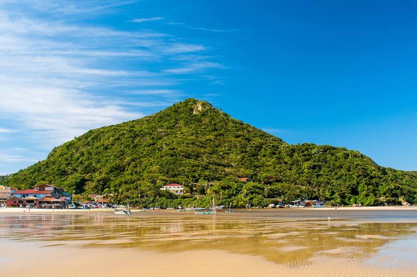
Campina Grande do Sul — Ibitirama
Campina Grande do Sul — Aracaju
Campina Grande do Sul — Paraíso do Norte
Campina Grande do Sul — Ladário
Campina Grande do Sul — Altônia
Campina Grande do Sul — Fronteiras
Campina Grande do Sul — Ibiassucê
Campina Grande do Sul — Cambuci
Campina Grande do Sul — Itapetininga
Campina Grande do Sul — Carapina
Campina Grande do Sul — Rio Manso
Campina Grande do Sul — Camboriú
Campina Grande do Sul — Nova Pádua
Campina Grande do Sul — Jaboatão dos Guararapes
Campina Grande do Sul — Brochier
Campina Grande do Sul — Jutica
Campina Grande do Sul — Ivoti
Campina Grande do Sul — Carlos Barbosa
Campina Grande do Sul — Vargem Grande do Sul
Piraquara
São José dos Pinhais
Marcelino
Garuva
Joinville
São João do Itaperiú
Barra Velha
Piçarras
Itajaí
Itajaí
Camboriú
Camboriú
Itapema
Itapema
Meia Praia
Tijucas
Governador Celso Ramos
Biguaçu
São José
Palhoça
Guarda do Embaú
Paulo Lopes
Campina Grande do Sul — Garopaba distance, route on the map
Distance by car
Distance between Campina Grande do Sul, Paraná, Brazil and Garopaba, Santa Catarina, Brazil by car is — km, or miles. To travel this distance by car, you need minute, or h.
Route on the map, driving directions
Car route Campina Grande do Sul — Garopaba was created automatically. The road on the map is shown as a blue line. By moving the markers, you can create a new route through the points you need.
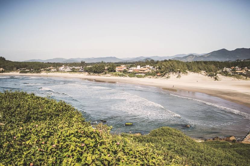
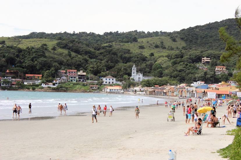
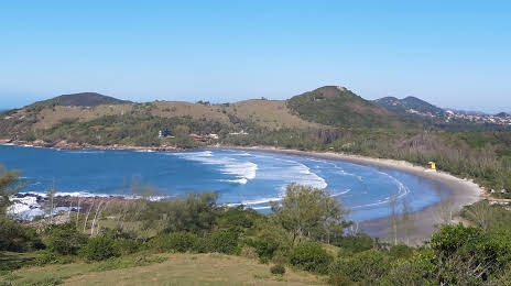
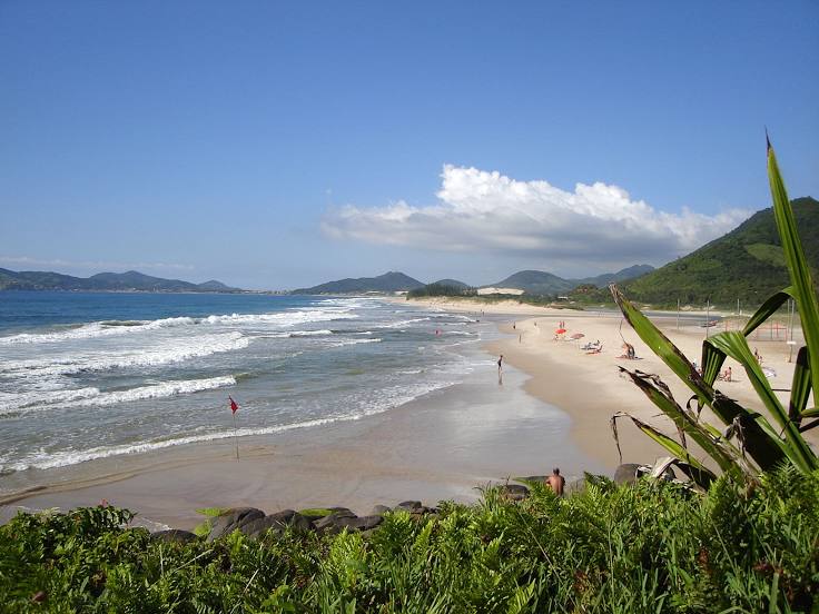
Passing cities through which the car route passes: Quatro Barras, Piraquara, São José dos Pinhais, Marcelino, Garuva, Joinville, São João do Itaperiú, Barra Velha, Piçarras, Itajaí, Itajaí, Camboriú, Camboriú, Itapema, Itapema, Meia Praia, Tijucas, Governador Celso Ramos, Biguaçu, São José, Palhoça, Guarda do Embaú, Paulo Lopes.
Distance by plane
If you decide to take a trip Campina Grande do Sul Garopaba by plane, then you have to fly the distance — 306 km or 190 miles. It is marked on the map with a gray line (between two points in a straight line).
Flight time
Estimated flight time Campina Grande do Sul Garopaba by plane at cruising speed 750 km / h will be — 24 min.
Direction of movement
Brazil, Campina Grande do Sul — right-hand traffic. Brazil, Garopaba — right-hand traffic.
Difference in time
Campina Grande do Sul and Garopaba are in the same time zone. Between them there is no time difference (UTC -3 America/Sao_Paulo).
Interesting Facts
Information on alternative ways to get to your destination.
The length of this distance is about 0.8% of the total length of the equator.
The percentage of the population is clearly shown in the graph:
Campina Grande do Sul — 31,112, Garopaba — 11,718 residents (less by 19,394).
The cost of travel
Calculate the cost of the trip yourself using the fuel consumption calculator, changing the data in the table.