
 Tahiche
El Boalo
Muro
Curiel de Duero
Vallejo
Reina
Berrioplano
Gotor
Agoncillo
Albons
Vilafant
Olías del Rey
El Casar
Terradillos
Alcolea de Calatrava
El Brull
Cobeja
Villanueva de Castellón
Cabreros del Monte
Tahiche
El Boalo
Muro
Curiel de Duero
Vallejo
Reina
Berrioplano
Gotor
Agoncillo
Albons
Vilafant
Olías del Rey
El Casar
Terradillos
Alcolea de Calatrava
El Brull
Cobeja
Villanueva de Castellón
Cabreros del Monte
L'Escala on the map, Spain
Where is located L'Escala
Exact location — L'Escala, Girona, Catalunya, Spain, marked on the map with a red marker.
Coordinates
L'Escala, Spain coordinates in decimal format: latitude — 42.1094266, longitude — 3.1428341. When converted to degrees, minutes, seconds L'Escala has the following coordinates: 42°6′33.94 north latitude and 3°8′34.2 east longitude.
Population
L'Escala, Girona, Catalunya, Spain, according to our data the population is — 10,140 residents, which is about 0% of the total population of the country (Spain).
Comparison of the population on the graph:
Exact time
Time zone for this location L'Escala — UTC +2 Europe/Madrid. Exact time — thursday, 5 may 2024 year, 07 h. 33 minutes.
Sunrise and sunset
L'Escala, sunrise and sunset data for a date — thursday 9.05.2024.
| Sunrise | Sunset | Day (duration) |
|---|---|---|
| 06:35 -1 minute | 20:51 +1 minute | 14 h. 18 minutes. +2 minutes |
You can control the scale of the map using the auxiliary tools to find out exactly where it is located L'Escala. When you change the scale of the map, the width of the ruler also changes (in kilometers and miles).
Nearby cities
The largest cities that are located nearby:
- Perpignan
 (France) — 67 km
 - Mataró — 86 km
- Badalona — 104 km
- Sabadell — 106 km
- Santa Coloma de Gramenet — 107 km
- Terrassa — 112 km
- L'Hospitalet de Llobregat — 118 km
- Montpellier (France) — 176 km
- Tarragona — 192 km
- Toulouse (France) — 214 km
- Nimes (France) — 214 km
- Lleida — 216 km
- Marseille (France) — 222 km
- Aix-en-Provence (France) — 242 km
- Toulon (France) — 251 km
- Palma — 284 km
- Zaragoza — 337 km
- Nice (France) — 374 km
- Saint-Étienne (France) — 381 km
Distance to neighboring capitals:
- Andorra la Vella
 (Andorra) — 140 km
 - Paris (France) — 753 km
- Paris (France) — 753 km
- Lisbon
 (Portugal) — 1105 km
 - Rabat
 (Morocco) — 1257 km
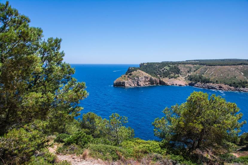
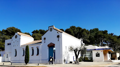
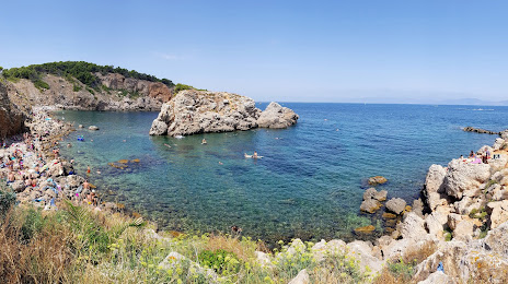
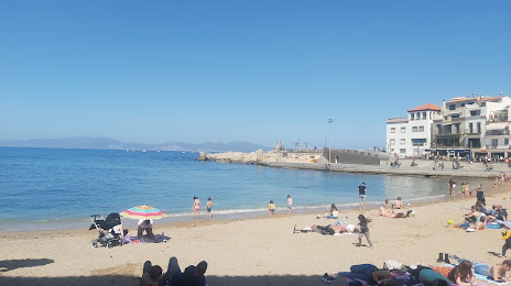
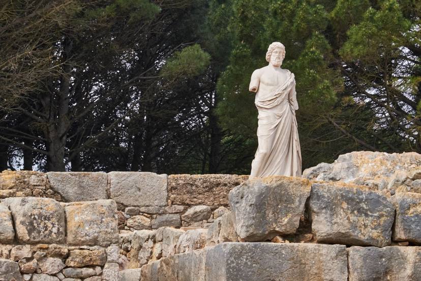
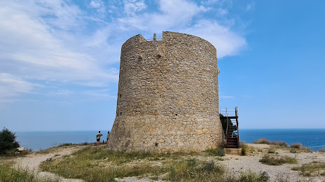
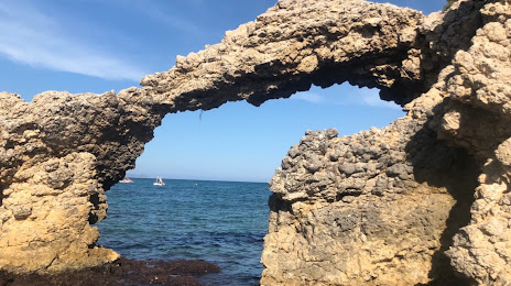
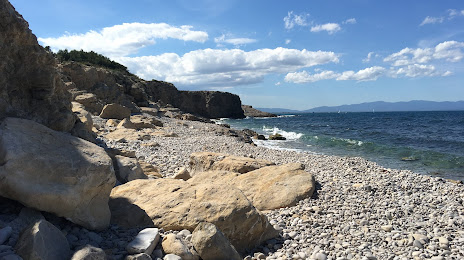
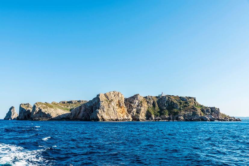
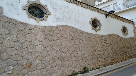
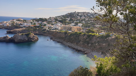
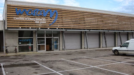
Attractions


Distance to the capital
Distance to the capital (Madrid) is about — 602 km.