
 Sant Joan les Fonts
Almendral
Umbrete
Vilassar de Dalt
Miengo
Zuera
Arguedas
Anglesola
Bonete
Artesa de Segre
Candeleda
L'Olleria
La Mudarra
Navarcles
Campino
Las Cabezas de San Juan
Ardèvol
Villarrasa
Cornellà del Terri
Sant Joan les Fonts
Almendral
Umbrete
Vilassar de Dalt
Miengo
Zuera
Arguedas
Anglesola
Bonete
Artesa de Segre
Candeleda
L'Olleria
La Mudarra
Navarcles
Campino
Las Cabezas de San Juan
Ardèvol
Villarrasa
Cornellà del Terri
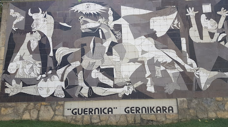
Gernika-Lumo on the map, Spain
Where is located Gernika-Lumo
Exact location — Gernika-Lumo, Bizkaia, Euskadi, Spain, marked on the map with a red marker.
Coordinates
Gernika-Lumo, Spain coordinates in decimal format: latitude — 43.311373, longitude — -2.6808403. When converted to degrees, minutes, seconds Gernika-Lumo has the following coordinates: 43°18′40.94 north latitude and -2°40′51.03 east longitude.
Population
Gernika-Lumo, Bizkaia, Euskadi, Spain, according to our data the population is — 16,244 residents, which is about 0% of the total population of the country (Spain).
Comparison of the population on the graph:
Exact time
Time zone for this location Gernika-Lumo — UTC +2 Europe/Madrid. Exact time — tuesday, 5 may 2024 year, 00 h. 50 minutes.
Sunrise and sunset
Gernika-Lumo, sunrise and sunset data for a date — tuesday 7.05.2024.
| Sunrise | Sunset | Day (duration) |
|---|---|---|
| 06:58 -1 minute | 21:15 +1 minute | 14 h. 18 minutes. +2 minutes |
You can control the scale of the map using the auxiliary tools to find out exactly where it is located Gernika-Lumo. When you change the scale of the map, the width of the ruler also changes (in kilometers and miles).
Nearby cities
The largest cities that are located nearby:
- Bilbao — 21 km
- Vitoria-Gasteiz — 50 km
- San Sebastián — 56 km
- Santander — 92 km
- Logroño — 96 km
- Pamplona — 100 km
- Burgos — 135 km
- Bordeaux
 (France) — 236 km
 - Zaragoza — 236 km
- Gijón — 240 km
- León — 248 km
- Valladolid — 249 km
- Oviedo — 255 km
- Alcobendas — 317 km
- Alcala de Henares — 318 km
- Torrejón de Ardoz — 323 km
- Lleida — 331 km
- Toulouse (France) — 332 km
- Alcorcón — 342 km
Distance to neighboring capitals:
- Andorra la Vella
 (Andorra) — 354 km
 - Paris (France) — 728 km
- Paris (France) — 728 km
- Lisbon
 (Portugal) — 744 km
 - Rabat
 (Morocco) — 1100 km
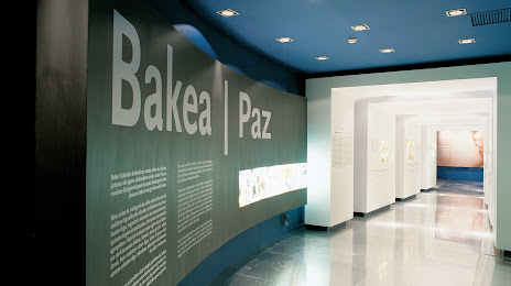
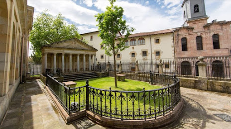
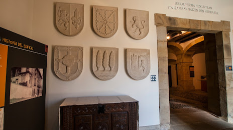
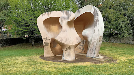
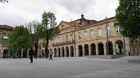
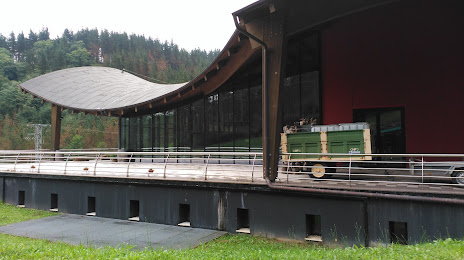
Attractions

Distance to the capital
Distance to the capital (Madrid) is about — 333 km.