 Warner Robins
Wantagh
Bethel
Misty Hill Farm
United States
Wakonda Beach (R33) Airport
Wilmington
Poland
Miami International Airport
Warner Robins
Wantagh
Bethel
Misty Hill Farm
United States
Wakonda Beach (R33) Airport
Wilmington
Poland
Miami International Airport
Mississippi National River and Recreation Area on the map, Fridley, United States
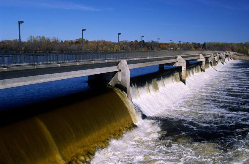
Photo
Where is located Mississippi National River and Recreation Area
Mississippi National River and Recreation Area — local attraction, which is located at 120 W Kellogg Blvd, St Paul, MN 55102, United States and belongs to the category — national recreation area. Average visitor rating for this place — 4.6 (according to 6943 ratings, information from open sources and relevant for 2022).
Exact location — Mississippi National River and Recreation Area, marked on the map with a red marker.
You can get directions to Mississippi National River and Recreation Area on the map from your location.
What else is interesting in Fridley? You can see all the sights if you go to the city page.
Coordinates
Mississippi National River and Recreation Area, United States coordinates in decimal format: latitude — 44.932319171012104, longitude — -93.11269700193536. When converted to degrees, minutes, seconds Mississippi National River and Recreation Area has the following coordinates: 44°55′56.35 north latitude and -93°6′45.71 east longitude.
Nearby cities
The largest cities that are located nearby:
- Minneapolis — 12 km
- Saint Paul — 20 km
- Sioux Falls — 326 km
- Madison — 383 km
- Des Moines — 386 km
- Green Bay — 418 km
- Rockford — 462 km
- Omaha — 481 km
- Milwaukee — 488 km
- Aurora — 549 km
- Lincoln — 551 km
- Naperville — 560 km
- Peoria — 575 km
- Joliet — 582 km
- Chicago — 584 km
- Winnipeg
 (Canada) — 599 km
 - Grand Rapids — 658 km
- North Kansas City — 667 km
- Independence — 670 km
Distance to the capital
Distance to the capital (Washington) is about — 1486 km.