Pacatuba — Acopiara
Pacatuba — Rio Fortuna
Pacatuba — Pedro Leopoldo
Pacatuba — Florestal
Pacatuba — Garça
Pacatuba — Mauá
Pacatuba — Palmares do Sul
Pacatuba — Alvinópolis
Pacatuba — Santa Mercedes
Pacatuba — Cana Verde
Pacatuba — Bom Jesus do Itabapoana
Pacatuba — Agudo
Pacatuba — Paratinga
Pacatuba — Moreno
Pacatuba — Tarumirim
Pacatuba — Shell
Pacatuba — São Miguel do Iguaçu
Pacatuba — Cacequi
Pacatuba — Murici
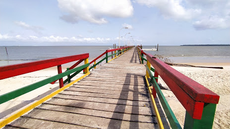
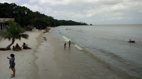
Pacatuba — Barcarena distance, route on the map
Distance by car
Distance between Pacatuba, Sergipe, Brazil and Barcarena, Pará, Brazil by car is — km, or miles. To travel this distance by car, you need minute, or h.
Route on the map, driving directions
Car route Pacatuba — Barcarena was created automatically. The road on the map is shown as a blue line. By moving the markers, you can create a new route through the points you need.
Distance by plane
If you decide to take a trip Pacatuba Barcarena by plane, then you have to fly the distance — 1655 km or 1026 miles. It is marked on the map with a gray line (between two points in a straight line).
Flight time
Estimated flight time Pacatuba Barcarena by plane at cruising speed 750 km / h will be — 2 h. and 12 min.
Direction of movement
Brazil, Pacatuba — right-hand traffic. Brazil, Barcarena — right-hand traffic.
Difference in time
Pacatuba and Barcarena are in the same time zone. Between them there is no time difference (UTC -3 America/Fortaleza).
Interesting Facts
Information on alternative ways to get to your destination.
The length of this distance is about 4.1% of the total length of the equator.
The percentage of the population is clearly shown in the graph:
Pacatuba — 2,616 (less by 27,256), Barcarena — 29,872 residents.
The cost of travel
Calculate the cost of the trip yourself using the fuel consumption calculator, changing the data in the table.