Etla — San Francisco del Oro Municipality
Etla — Copala
Etla — Rayón
Etla — El Espino
Etla — Ciudad Juarez
Etla — Sayulita
Etla — Coatepec
Etla — Llera
Etla — Pedro Antonio Santos
Etla — Agua Zarca
Etla — Las Esmeraldas
Etla — Amayuca
Etla — Lo de Vega
Etla — El Salitre
Etla — San Camilo
Etla — Peñitas
Etla — Cancun International Airport
Etla — Quintana Roo
Etla — Mundo Nuevo
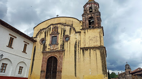
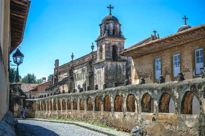
Etla — Pátzcuaro distance, route on the map
Distance by car
Distance between Etla, Oaxaca, Mexico and Pátzcuaro, Michoacán, Mexico by car is — km, or miles. To travel this distance by car, you need minute, or h.
Route on the map, driving directions
Car route Etla — Pátzcuaro was created automatically. The road on the map is shown as a blue line. By moving the markers, you can create a new route through the points you need.
Distance by plane
If you decide to take a trip Etla Pátzcuaro by plane, then you have to fly the distance — 570 km or 353 miles. It is marked on the map with a gray line (between two points in a straight line).
Flight time
Estimated flight time Etla Pátzcuaro by plane at cruising speed 750 km / h will be — 45 min.
Direction of movement
Mexico, Etla — right-hand traffic. Mexico, Pátzcuaro — right-hand traffic.
Difference in time
Etla and Pátzcuaro are in the same time zone. Between them there is no time difference (UTC -6 America/Mexico_City).
Interesting Facts
Information on alternative ways to get to your destination.
The length of this distance is about 1.4% of the total length of the equator.
The percentage of the population is clearly shown in the graph:
Etla — 7,327 (less by 41,691), Pátzcuaro — 49,018 residents.
The cost of travel
Calculate the cost of the trip yourself using the fuel consumption calculator, changing the data in the table.