Jataìzinho — Campinas
Jataìzinho — Diamante
Jataìzinho — Nova Pádua
Jataìzinho — Guaxupé
Jataìzinho — Promissão
Jataìzinho — Paragominas
Jataìzinho — Apiaí
Jataìzinho — Tremembé
Jataìzinho — Barreiras
Jataìzinho — Quixabeira
Jataìzinho — Palestina
Jataìzinho — Santo Amaro da Imperatriz
Jataìzinho — Jacinto Machado
Jataìzinho — Angatuba
Jataìzinho — Juquitiba
Jataìzinho — Jaguaré
Jataìzinho — Ariquemes
Jataìzinho — Santo Antônio da Patrulha
Jataìzinho — Pratinha
Uraí
Cornélio Procópio
Bandeirantes
Andirá
Cambará
Ourinhos
Santa Cruz do Rio Pardo
Espírito Santo do Turvo
Itatinga
Pardinho
Cesário Lange
Boituva
Porto Feliz
Itu
Brazil
Cabreúva
Itupeva
Jundiaí
Itatiba
Jarinu
Atibaia
Extrema
Camanducaia
Cambuí
Pouso Alegre
São Sebastião da Bela Vista
Campanha
Três Corações
Carmo da Cachoeira
Carmo da Cachoeira
Santo Antônio do Amparo
Oliveira
Oliveira
Entre Rios de Minas
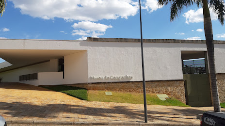
Jataìzinho — Congonhas distance, route on the map
Distance by car
Distance between Jataìzinho, Paraná, Brazil and Congonhas, Minas Gerais, Brazil by car is — km, or miles. To travel this distance by car, you need minute, or h.
Route on the map, driving directions
Car route Jataìzinho — Congonhas was created automatically. The road on the map is shown as a blue line. By moving the markers, you can create a new route through the points you need.
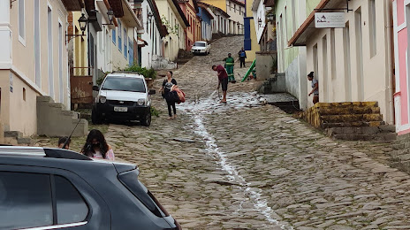
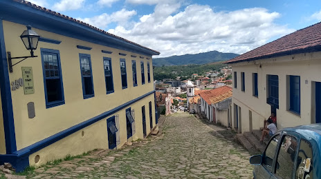
Passing cities through which the car route passes: Uraí, Uraí, Cornélio Procópio, Bandeirantes, Andirá, Cambará, Ourinhos, Santa Cruz do Rio Pardo, Espírito Santo do Turvo, Itatinga, Pardinho, Cesário Lange, Boituva, Porto Feliz, Itu, Brazil, Cabreúva, Itupeva, Jundiaí, Itatiba, Jarinu, Atibaia, Extrema, Camanducaia, Cambuí, Pouso Alegre, São Sebastião da Bela Vista, Campanha, Três Corações, Carmo da Cachoeira, Carmo da Cachoeira, Santo Antônio do Amparo, Oliveira, Oliveira, Entre Rios de Minas.
Distance by plane
If you decide to take a trip Jataìzinho Congonhas by plane, then you have to fly the distance — 796 km or 494 miles. It is marked on the map with a gray line (between two points in a straight line).
Flight time
Estimated flight time Jataìzinho Congonhas by plane at cruising speed 750 km / h will be — 1 h. and 3 min.
Direction of movement
Brazil, Jataìzinho — right-hand traffic. Brazil, Congonhas — right-hand traffic.
Difference in time
Jataìzinho and Congonhas are in the same time zone. Between them there is no time difference (UTC -3 America/Sao_Paulo).
Interesting Facts
Information on alternative ways to get to your destination.
The length of this distance is about 2.0% of the total length of the equator.
The percentage of the population is clearly shown in the graph:
Jataìzinho — 10,014 (less by 38,805), Congonhas — 48,819 residents.
The cost of travel
Calculate the cost of the trip yourself using the fuel consumption calculator, changing the data in the table.