 Joliette
Corner Brook
Brantford
Shawinigan
Pembroke
Slave Lake
Drayton Valley
Baden
High River
Oromocto
Sussex
Memramcook
Miramichi
Rothesay
Bathurst
Shediac
Doaktown
Winkler
Cranberry Portage
Joliette
Corner Brook
Brantford
Shawinigan
Pembroke
Slave Lake
Drayton Valley
Baden
High River
Oromocto
Sussex
Memramcook
Miramichi
Rothesay
Bathurst
Shediac
Doaktown
Winkler
Cranberry Portage
Pickering on the map, Canada
Where is located Pickering
Exact location — Pickering, Durham Regional Municipality, Ontario, Canada, marked on the map with a red marker.
Coordinates
Pickering, Canada coordinates in decimal format: latitude — 43.8384117, longitude — -79.0867579. When converted to degrees, minutes, seconds Pickering has the following coordinates: 43°50′18.28 north latitude and -79°5′12.33 east longitude.
Population
Pickering, Durham Regional Municipality, Ontario, Canada, according to our data the population is — 87,838 residents, which is about 0.2% of the total population of the country (Canada).
Comparison of the population on the graph:
Exact time
Time zone for this location Pickering — UTC -4 America/Toronto. Exact time — wednesday, 5 may 2024 year, 06 h. 59 minutes.
Sunrise and sunset
Pickering, sunrise and sunset data for a date — wednesday 15.05.2024.
| Sunrise | Sunset | Day (duration) |
|---|---|---|
| 05:53 -1 minute | 20:32 +2 minutes | 14 h. 42 minutes. +3 minutes |
You can control the scale of the map using the auxiliary tools to find out exactly where it is located Pickering. When you change the scale of the map, the width of the ruler also changes (in kilometers and miles).
Nearby cities
The largest cities that are located nearby:
- Whitby — 13 km
- Oshawa — 19 km
- Markham — 20 km
- Richmond Hill — 29 km
- Toronto — 31 km
- Vaughan — 34 km
- Mississauga — 52 km
- Brampton — 55 km
- Oakville — 63 km
- Saint Catharines — 76 km
- Barrie — 77 km
- Burlington — 81 km
- Hamilton — 90 km
- Amherst
 (United States) — 98 km
 - Guelph — 99 km
- Buffalo (United States) — 107 km
- Cambridge — 112 km
- Kitchener — 121 km
- Waterloo — 122 km
Distance to neighboring capitals:
- Washington (United States) — 574 km
- Nuuk
 (Greenland) — 2837 km
 - Saint John
 (Puerto Rico) — 3072 km
 - Mexico City
 (Mexico) — 3293 km
 - Belgrade
 (Serbia) — 7366 km
 - Podgorica
 (Montenegro) — 7456 km
 - Hagåtña
 (Guam) — 12252 km
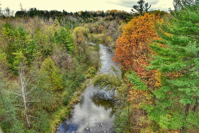
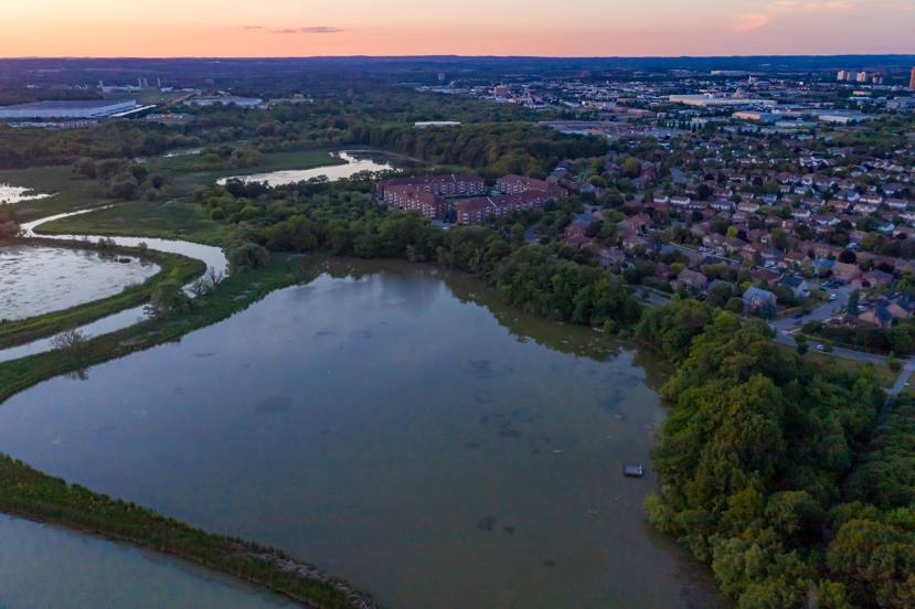
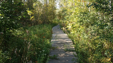
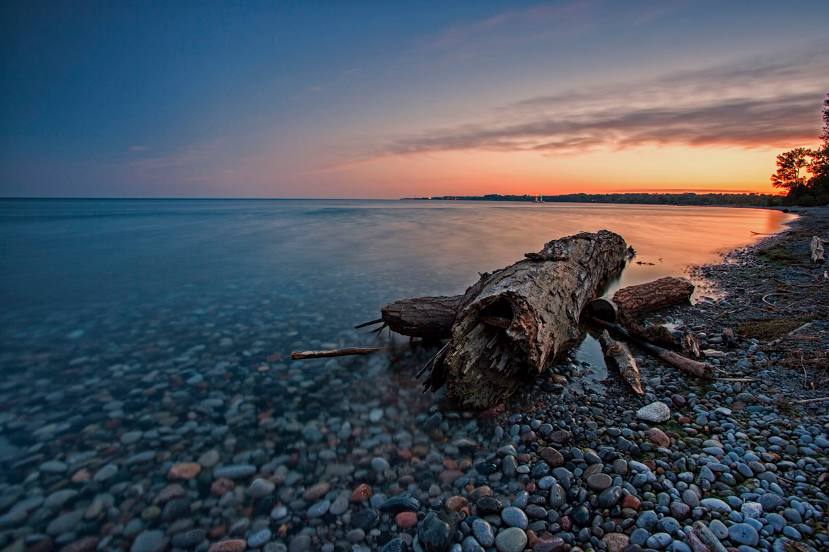
Attractions


Distance to the capital
Distance to the capital (Ottawa) is about — 321 km.