 Campbell River
Newmarket
Stellarton
Caledon
Squamish
Chesley
High Level
Bonnyville
Port Hardy
Norwich
Dawson Creek
Cambridge
Pickering
Gander
Beaverton
Colonsay
Melville
Prince Albert
Valcourt
Campbell River
Newmarket
Stellarton
Caledon
Squamish
Chesley
High Level
Bonnyville
Port Hardy
Norwich
Dawson Creek
Cambridge
Pickering
Gander
Beaverton
Colonsay
Melville
Prince Albert
Valcourt
Brantford on the map, Canada
Where is located Brantford
Exact location — Brantford, Brant County, Ontario, Canada, marked on the map with a red marker.
Coordinates
Brantford, Canada coordinates in decimal format: latitude — 43.1393867, longitude — -80.2644254. When converted to degrees, minutes, seconds Brantford has the following coordinates: 43°8′21.79 north latitude and -80°15′51.93 east longitude.
Population
Brantford, Brant County, Ontario, Canada, according to our data the population is — 87,761 residents, which is about 0.2% of the total population of the country (Canada).
Comparison of the population on the graph:
Exact time
Time zone for this location Brantford — UTC -4 America/Toronto. Exact time — saturday, 5 may 2024 year, 18 h. 32 minutes.
Sunrise and sunset
Brantford, sunrise and sunset data for a date — saturday 11.05.2024.
| Sunrise | Sunset | Day (duration) |
|---|---|---|
| 06:04 -1 minute | 20:30 +1 minute | 14 h. 24 minutes. +2 minutes |
You can control the scale of the map using the auxiliary tools to find out exactly where it is located Brantford. When you change the scale of the map, the width of the ruler also changes (in kilometers and miles).
Nearby cities
The largest cities that are located nearby:
- Cambridge — 25 km
- Hamilton — 34 km
- Kitchener — 35 km
- Waterloo — 41 km
- Burlington — 43 km
- Guelph — 45 km
- Oakville — 59 km
- Mississauga — 70 km
- Brampton — 77 km
- London — 81 km
- Saint Catharines — 82 km
- Toronto — 91 km
- Vaughan — 98 km
- Richmond Hill — 105 km
- Markham — 108 km
- Buffalo
 (United States) — 116 km
 - Amherst (United States) — 121 km
- Whitby — 135 km
- Boston (United States) — 136 km
Distance to neighboring capitals:
- Washington (United States) — 543 km
- Nuuk
 (Greenland) — 2950 km
 - Saint John
 (Puerto Rico) — 3049 km
 - Mexico City
 (Mexico) — 3172 km
 - Belgrade
 (Serbia) — 7489 km
 - Podgorica
 (Montenegro) — 7579 km
 - Hagåtña
 (Guam) — 12237 km
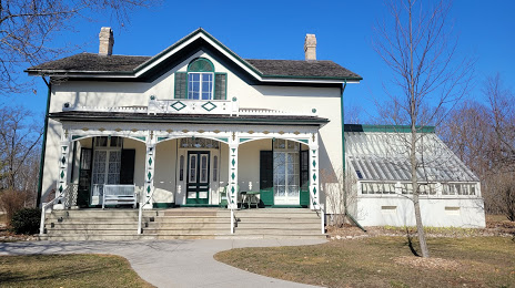
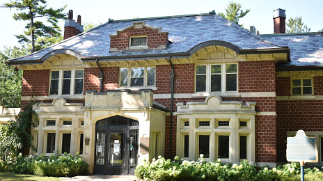
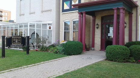
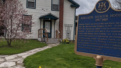
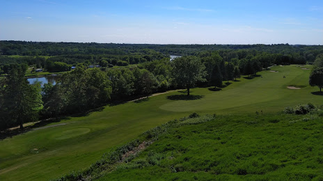
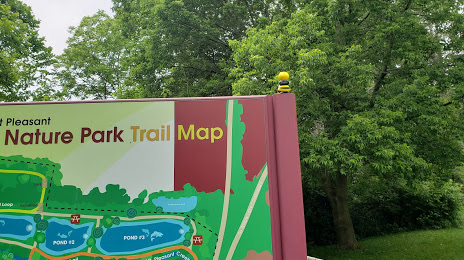
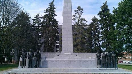
Attractions


Distance to the capital
Distance to the capital (Ottawa) is about — 443 km.