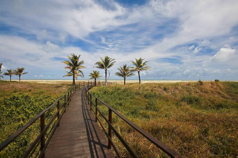
Itaguaçu — Brazil
Itaguaçu — Ferroviário
Itaguaçu — Medeiros Neto
Itaguaçu — Avaré
Itaguaçu — Jataí
Itaguaçu — Planalto de Carapina
Itaguaçu — Chaves
Itaguaçu — Rosário
Itaguaçu — Conceição
Itaguaçu — Fontoura Xavier
Itaguaçu — Arroio dos Ratos
Itaguaçu — Sem-Peixe
Itaguaçu — Smile
Itaguaçu — Pão de Açúcar
Itaguaçu — Jarinu
Itaguaçu — Amarante do Maranhão
Itaguaçu — Portalegre
Itaguaçu — Carmo da Cachoeira
Itaguaçu — Queimados
Santa Teresa
Fundão
Ibiraçu
João Neiva
Guaraná
Linhares
Shell
São Mateus
Itamaraju
Buerarema
Itabuna
Ubaitaba
Gandu
Santo Antônio de Jesus
Cruz das Almas
Muritiba
Cachoeira
Teodoro Sampaio
Alagoinhas
Entre Rios
Esplanada
Estância
São Cristóvão
Itaguaçu — Aracaju distance, route on the map
Distance by car
Distance between Itaguaçu, Espírito Santo, Brazil and Aracaju, Sergipe, Brazil by car is — km, or miles. To travel this distance by car, you need minute, or h.
Route on the map, driving directions
Car route Itaguaçu — Aracaju was created automatically. The road on the map is shown as a blue line. By moving the markers, you can create a new route through the points you need.
Passing cities through which the car route passes: Itarana, Santa Teresa, Fundão, Ibiraçu, João Neiva, Guaraná, Linhares, Shell, São Mateus, Itamaraju, Buerarema, Itabuna, Ubaitaba, Gandu, Santo Antônio de Jesus, Cruz das Almas, Muritiba, Cachoeira, Teodoro Sampaio, Alagoinhas, Entre Rios, Esplanada, Estância, São Cristóvão.
Distance by plane
If you decide to take a trip Itaguaçu Aracaju by plane, then you have to fly the distance — 1065 km or 660 miles. It is marked on the map with a gray line (between two points in a straight line).
Flight time
Estimated flight time Itaguaçu Aracaju by plane at cruising speed 750 km / h will be — 1 h. and 25 min.
Direction of movement
Brazil, Itaguaçu — right-hand traffic. Brazil, Aracaju — right-hand traffic.
Difference in time
Itaguaçu and Aracaju are in the same time zone. Between them there is no time difference (UTC -3 America/Sao_Paulo).
Interesting Facts
Information on alternative ways to get to your destination.
The length of this distance is about 2.7% of the total length of the equator.
The percentage of the population is clearly shown in the graph:
Itaguaçu — 8,202 (less by 481,982), Aracaju — 490,184 residents.
The cost of travel
Calculate the cost of the trip yourself using the fuel consumption calculator, changing the data in the table.