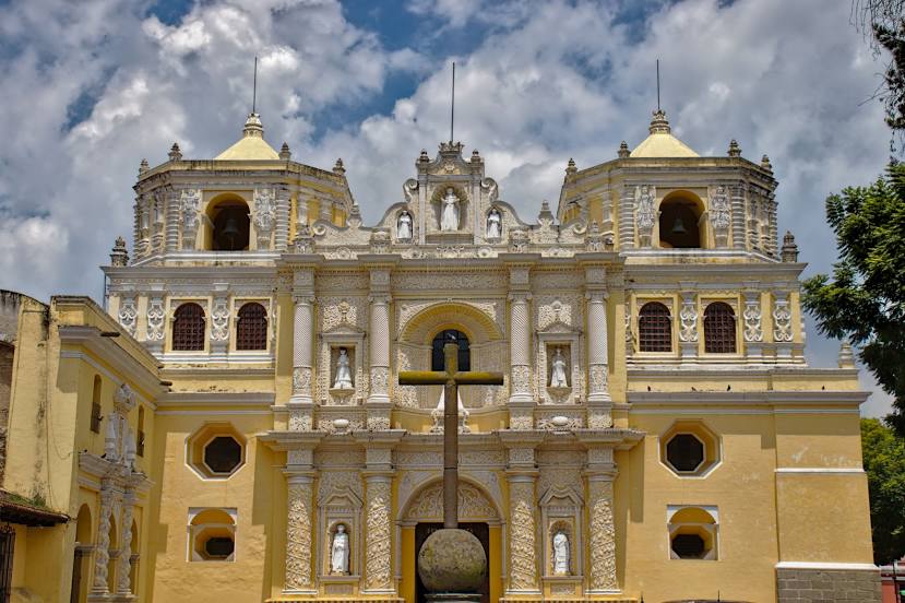
Esquipulas — San José del Golfo
Esquipulas — Puerto Quetzal
Esquipulas — San Ildefonso Ixtahuacán
Esquipulas — San Jose
Esquipulas — Mundo Maya International Airport
Esquipulas — Canillá
Esquipulas — San José El Idolo
Esquipulas — Jalapa
Esquipulas — Tzanimacabaj
Esquipulas — San Marcos
Esquipulas — Pueblo Nuevo Viñas
Esquipulas — Rubelsanto
Esquipulas — El Boquerón
Esquipulas — Vuelta Grande
Esquipulas — Jumuzna
Esquipulas — Chichicastenango
Esquipulas — Palqui
Esquipulas — El Nuevo Palmar
Esquipulas — Totonicapan
Concepción Las Minas
Quezaltepeque
San Jacinto
Sábana Grande
Chiquimula
Jumuzna
Zacapa
Estanzuela
Chispan
Rio Hondo
Teculután
Usumatlan
Cabanas
San Cristobal Acasaguastlán
El Jícaro
San Agustín Acasaguastlán
El Progreso Department
Guastatoya
Sanarate
San Antonio la Paz
Agua Caliente
San José del Golfo
Palencia
Chinautla
Zona 18
Guatemala City
Guatemala City
Esquipulas — Guatemala City distance, route on the map
Distance by car
Distance between Esquipulas, Chiquimula, Guatemala and Guatemala City, Guatemala, Guatemala by car is — km, or miles. To travel this distance by car, you need minute, or h.
Route on the map, driving directions
Car route Esquipulas — Guatemala City was created automatically. The road on the map is shown as a blue line. By moving the markers, you can create a new route through the points you need.
Passing cities through which the car route passes: Aldea Belén, Concepción Las Minas, Quezaltepeque, San Jacinto, Sábana Grande, Chiquimula, Jumuzna, Zacapa, Estanzuela, Chispan, Rio Hondo, Teculután, Usumatlan, Cabanas, San Cristobal Acasaguastlán, El Jícaro, San Agustín Acasaguastlán, El Progreso Department, Guastatoya, Sanarate, San Antonio la Paz, Agua Caliente, San José del Golfo, Palencia, Chinautla, Zona 18, Guatemala City, Guatemala City.
Distance by plane
If you decide to take a trip Esquipulas Guatemala City by plane, then you have to fly the distance — 129 km or 80 miles. It is marked on the map with a gray line (between two points in a straight line).
Flight time
Estimated flight time Esquipulas Guatemala City by plane at cruising speed 750 km / h will be — 10 min.
Direction of movement
Guatemala, Esquipulas — right-hand traffic. Guatemala, Guatemala City — right-hand traffic.
Difference in time
Esquipulas and Guatemala City are in the same time zone. Between them there is no time difference (UTC -6 America/Guatemala).
Interesting Facts
Information on alternative ways to get to your destination.
The length of this distance is about 0.3% of the total length of the equator.
The percentage of the population is clearly shown in the graph:
Esquipulas — 20,249 (less by 974,689), Guatemala City — 994,938 residents.
The cost of travel
Calculate the cost of the trip yourself using the fuel consumption calculator, changing the data in the table.