Doctor Arroyo — Villa Azueta
Doctor Arroyo — Santiago Laollaga
Doctor Arroyo — Potosí
Doctor Arroyo — San Cristóbal de las Casas
Doctor Arroyo — Jalpan de Serra
Doctor Arroyo — Ciudad Juarez
Doctor Arroyo — Río Grande O Piedra Parada
Doctor Arroyo — Xoxocotla
Doctor Arroyo — Tampico Alto
Doctor Arroyo — Mazamitla
Doctor Arroyo — San Miguel
Doctor Arroyo — Concepción
Doctor Arroyo — San Bartolo Yautepec
Doctor Arroyo — Ciudad Serdán
Doctor Arroyo — Transport
Doctor Arroyo — Saint lucas
Doctor Arroyo — Tampamolón
Doctor Arroyo — Jáuregui
Doctor Arroyo — Temixco
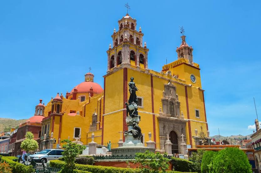
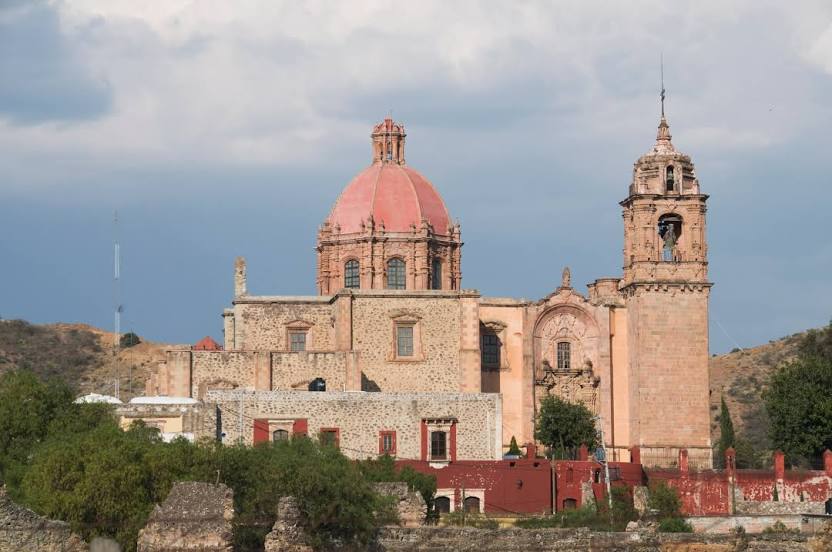
Doctor Arroyo — Guanajuato distance, route on the map
Distance by car
Distance between Doctor Arroyo, Nuevo Leon, Mexico and Guanajuato, Guanajuato, Mexico by car is — km, or miles. To travel this distance by car, you need minute, or h.
Route on the map, driving directions
Car route Doctor Arroyo — Guanajuato was created automatically. The road on the map is shown as a blue line. By moving the markers, you can create a new route through the points you need.
Distance by plane
If you decide to take a trip Doctor Arroyo Guanajuato by plane, then you have to fly the distance — 316 km or 196 miles. It is marked on the map with a gray line (between two points in a straight line).
Flight time
Estimated flight time Doctor Arroyo Guanajuato by plane at cruising speed 750 km / h will be — 25 min.
Direction of movement
Mexico, Doctor Arroyo — right-hand traffic. Mexico, Guanajuato — right-hand traffic.
Difference in time
Doctor Arroyo and Guanajuato are in the same time zone. Between them there is no time difference (UTC -6 America/Mexico_City).
Interesting Facts
Information on alternative ways to get to your destination.
The length of this distance is about 0.8% of the total length of the equator.
The percentage of the population is clearly shown in the graph:
Doctor Arroyo — 8,435 (less by 69,933), Guanajuato — 78,368 residents.
The cost of travel
Calculate the cost of the trip yourself using the fuel consumption calculator, changing the data in the table.