

Imbabura Volcano on the map, Otavalo, Ecuador
Photo
Where is located Imbabura Volcano
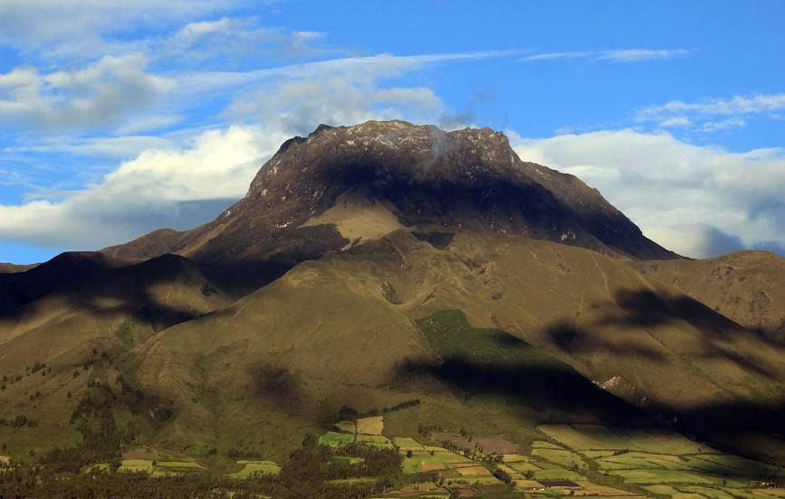
Imbabura Volcano — local attraction, which is located at 4,630 m and belongs to the category — -. Average visitor rating for this place — 4.6 (according to 49 ratings, information from open sources and relevant for 2022).
Exact location — Imbabura Volcano, marked on the map with a red marker.
You can get directions to Imbabura Volcano on the map from your location.
What else is interesting in Otavalo? You can see all the sights if you go to the city page.
Coordinates
Imbabura Volcano, Ecuador coordinates in decimal format: latitude — 0.23294380421137492, longitude — -78.26067940649064. When converted to degrees, minutes, seconds Imbabura Volcano has the following coordinates: 0°13′58.6 north latitude and -78°15′38.45 east longitude.
Nearby cities
The largest cities that are located nearby:
- Ibarra — 20 km
- Santo Domingo — 114 km
- Pasto
 (Colombia) — 154 km
 - Ambato — 168 km
- Quevedo — 192 km
- Riobamba — 214 km
- Portoviejo — 281 km
- Milagro — 300 km
- Manta — 301 km
- Popayán (Colombia) — 305 km
- Guayaquil — 323 km
- Florencia (Colombia) — 330 km
- Cuenca — 356 km
- Cali (Colombia) — 403 km
- Palmira (Colombia) — 424 km
- Buenaventura (Colombia) — 424 km
- Neiva (Colombia) — 443 km
- Santiago — 459 km
- Buga (Colombia) — 459 km
Distance to the capital
Distance to the capital (Quito) is about — 51 km.