
 Palenque
Pujili
Montalvo
Guachalá
Guano
Tena
San Cristobal
Chone
Colimes
Daule
Yaguachi
Milagro
Azogues
Macas
Quevedo
Saquisilí
Vinces
Machachi
Ricaurte
Palenque
Pujili
Montalvo
Guachalá
Guano
Tena
San Cristobal
Chone
Colimes
Daule
Yaguachi
Milagro
Azogues
Macas
Quevedo
Saquisilí
Vinces
Machachi
Ricaurte
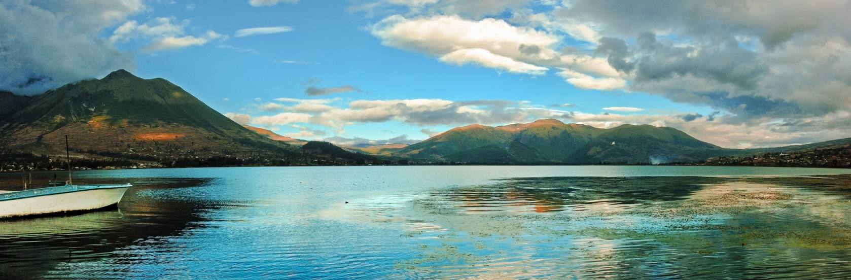
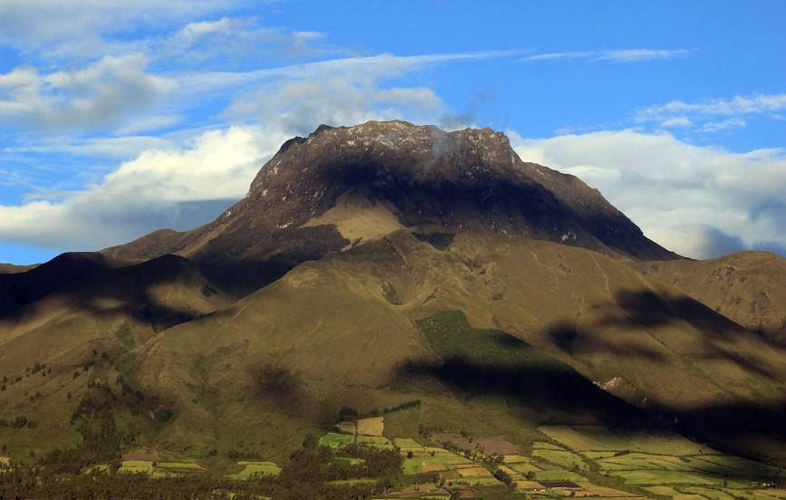
Otavalo on the map, Ecuador
Where is located Otavalo
Exact location — Otavalo, Imbabura, Ecuador, marked on the map with a red marker.
Coordinates
Otavalo, Ecuador coordinates in decimal format: latitude — 0.2343005, longitude — -78.2610672. When converted to degrees, minutes, seconds Otavalo has the following coordinates: 0°14′3.48 north latitude and -78°15′39.84 east longitude.
Population
Otavalo, Imbabura, Ecuador, according to our data the population is — 32,330 residents, which is about 0.2% of the total population of the country (Ecuador).
Comparison of the population on the graph:
Exact time
Time zone for this location Otavalo — UTC -5 America/Guayaquil. Exact time — saturday, 4 april 2024 year, 05 h. 06 minutes.
Sunrise and sunset
Otavalo, sunrise and sunset data for a date — saturday 27.04.2024.
| Sunrise | Sunset | Day (duration) |
|---|---|---|
| 06:09 -0 minutes | 18:11 -1 minute | 12 h. 0 minutes. -1 minute |
You can control the scale of the map using the auxiliary tools to find out exactly where it is located Otavalo. When you change the scale of the map, the width of the ruler also changes (in kilometers and miles).
Nearby cities
The largest cities that are located nearby:
- Ibarra — 20 km
- Santo Domingo — 114 km
- Pasto
 (Colombia) — 154 km
 - Ambato — 168 km
- Quevedo — 192 km
- Riobamba — 214 km
- Portoviejo — 281 km
- Milagro — 300 km
- Manta — 301 km
- Popayán (Colombia) — 305 km
- Guayaquil — 323 km
- Florencia (Colombia) — 330 km
- Cuenca — 356 km
- Cali (Colombia) — 403 km
- Palmira (Colombia) — 424 km
- Buenaventura (Colombia) — 424 km
- Neiva (Colombia) — 443 km
- Santiago — 459 km
- Buga (Colombia) — 459 km
Distance to neighboring capitals:
- Bogota (Colombia) — 672 km
- Caracas
 (Venezuela) — 1696 km
 - Nuestra Señora de La Paz
 (Bolivia) — 2167 km
 - Santiago
 (Chile) — 3829 km
Attractions
Distance to the capital
Distance to the capital (Quito) is about — 52 km.