
 Lyndhurst
Monument Park
Newlands
Atlantis
Parkhurst
Springs
Tzaneen
Mowbray
Rosebank
Port Elizabeth
Alice
Silverton
Houghton Estate
Rosslyn
East London
Middelburg
Vanderbijlpark
Parkview
Johannesburg
Lyndhurst
Monument Park
Newlands
Atlantis
Parkhurst
Springs
Tzaneen
Mowbray
Rosebank
Port Elizabeth
Alice
Silverton
Houghton Estate
Rosslyn
East London
Middelburg
Vanderbijlpark
Parkview
Johannesburg
Vereeniging on the map, South Africa
Where is located Vereeniging
Exact location — Vereeniging, Sedibeng, Gauteng, South Africa, marked on the map with a red marker.
Coordinates
Vereeniging, South Africa coordinates in decimal format: latitude — -26.673611, longitude — 27.931944. When converted to degrees, minutes, seconds Vereeniging has the following coordinates: -26°40′25 north latitude and 27°55′55 east longitude.
Population
Vereeniging, Sedibeng, Gauteng, South Africa, according to our data the population is — 474,680 residents, which is about 0.8% of the total population of the country (South Africa).
Comparison of the population on the graph:
Exact time
Time zone for this location Vereeniging — UTC +2 Africa/Johannesburg. Exact time — thursday, 5 may 2024 year, 07 h. 31 minute.
Sunrise and sunset
Vereeniging, sunrise and sunset data for a date — thursday 2.05.2024.
| Sunrise | Sunset | Day (duration) |
|---|---|---|
| 06:36 +1 minute | 17:34 -0 minutes | 11 h. 0 minutes. -1 minute |
You can control the scale of the map using the auxiliary tools to find out exactly where it is located Vereeniging. When you change the scale of the map, the width of the ruler also changes (in kilometers and miles).
Nearby cities
The largest cities that are located nearby:
- Vanderbijlpark — 10 km
- Soweto — 48 km
- Westonaria — 49 km
- Johannesburg — 53 km
- Boksburg — 58 km
- Randfontein — 59 km
- Nigel — 61 km
- Roodepoort — 61 km
- Carletonville — 63 km
- Krugersdorp — 66 km
- Benoni — 66 km
- Springs — 69 km
- Midrand — 77 km
- Tembisa — 79 km
- Diepsloot — 82 km
- Potchefstroom — 83 km
- Centurion — 91 km
- Embalenhle — 114 km
- Brits — 118 km
Distance to neighboring capitals:
- Maseru
 (Lesotho) — 297 km
 - Gaborone
 (Botswana) — 302 km
 - Mbabane
 (Swaziland) — 321 km
 - 2631 Maputo
 (Mozambique) — 470 km
 - Windhoek
 (Namibia) — 1187 km
 - Lilongwe
 (Malawi) — 1537 km
 - Dar es Salaam
 (Tanzania) — 2516 km
 - Luanda
 (Angola) — 2516 km
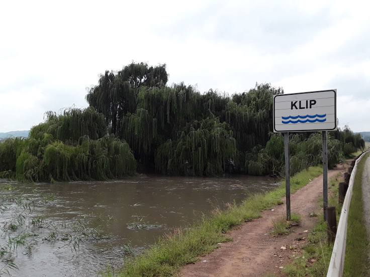
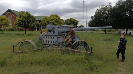
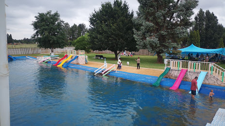
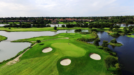
Attractions

Distance to the capital
Distance to the capital (Pretoria) is about — 106 km.