São Francisco de Assis — Santa Fé
São Francisco de Assis — Santana de Cataguases
São Francisco de Assis — Cândido Mota
São Francisco de Assis — Potirendaba
São Francisco de Assis — Maranguape
São Francisco de Assis — Nova Lacerda
São Francisco de Assis — Cerquilho
São Francisco de Assis — Vitória da Conquista
São Francisco de Assis — Lages
São Francisco de Assis — Sobreiro
São Francisco de Assis — Barra do Mendes
São Francisco de Assis — Capoeiras
São Francisco de Assis — Querência
São Francisco de Assis — Caridade
São Francisco de Assis — Jundiá
São Francisco de Assis — Uchoa
São Francisco de Assis — Paranacity
São Francisco de Assis — Ouriçangas
São Francisco de Assis — Florianópolis
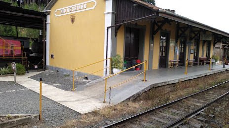
São Francisco de Assis — Rio Negrinho distance, route on the map
Distance by car
Distance between São Francisco de Assis, Rio Grande do Sul, Brazil and Rio Negrinho, Santa Catarina, Brazil by car is — km, or miles. To travel this distance by car, you need minute, or h.
Route on the map, driving directions
Car route São Francisco de Assis — Rio Negrinho was created automatically. The road on the map is shown as a blue line. By moving the markers, you can create a new route through the points you need.
Distance by plane
If you decide to take a trip São Francisco de Assis Rio Negrinho by plane, then you have to fly the distance — 663 km or 411 miles. It is marked on the map with a gray line (between two points in a straight line).
Flight time
Estimated flight time São Francisco de Assis Rio Negrinho by plane at cruising speed 750 km / h will be — 53 min.
Direction of movement
Brazil, São Francisco de Assis — right-hand traffic. Brazil, Rio Negrinho — right-hand traffic.
Difference in time
São Francisco de Assis and Rio Negrinho are in the same time zone. Between them there is no time difference (UTC -3 America/Sao_Paulo).
Interesting Facts
Information on alternative ways to get to your destination.
The length of this distance is about 1.7% of the total length of the equator.
The percentage of the population is clearly shown in the graph:
São Francisco de Assis — 14,305 (less by 27,610), Rio Negrinho — 41,915 residents.
The cost of travel
Calculate the cost of the trip yourself using the fuel consumption calculator, changing the data in the table.