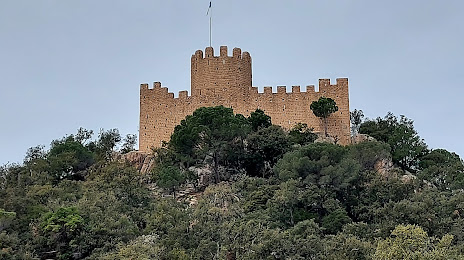
Zurita — Ciruelos
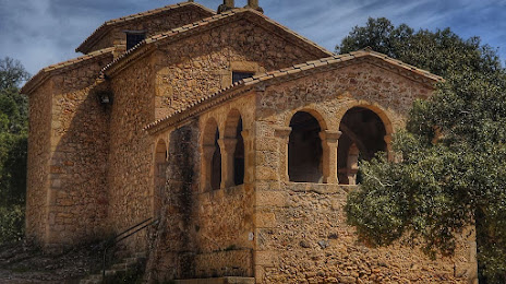
Zurita — Tejado
Zurita — Cristóbal
Zurita — La Junquera
Zurita — El Raposo
Zurita — Calonge
Zurita — Cubillo del Campo
Zurita — Fraga
Zurita — Villafrechós
Zurita — Cuenca de Campos
Zurita — O Cádavo (Baleira)
Zurita — Iglesias
Zurita — Torreperogil
Zurita — Urrea de Jalón
Zurita — Prades
Zurita — Llama
Zurita — Meira
Zurita — Ripollet
Zurita — Casetas
Vargas
Villabanez
Pomaluengo
Argomilla
La Abadilla
Sobarzo
Penagos
Anaz
Sobremazas
Solares
Valdecilla
Hoznayo
Entrambasaguas
Hazas de Cesto
Beranga
Gama
Bárcena de Cicero
Cicero
Treto
Colindres
Laredo
Limpias
Islares
Cerdigo
Castro Urdiales
Mioño
Ontón
Baltezana
Las Carreras
Ortuella
Trapagaran
Barakaldo
Alonsotegi
Santa Isabel
Bilbao
Basauri
Arrigorriaga
Ugao-Miraballes
Laudio
Luyando
Lezama
Izarra
Hueto Abajo
Armiñón
Rivabellosa
Berantevilla
Villalba de Rioja
Ocio
Briñas
Haro
Anguciana
Ollauri
Gimileo
Zurita — Ciruelos
Zurita — Tejado
Zurita — Cristóbal
Zurita — La Junquera
Zurita — El Raposo
Zurita — Calonge
Zurita — Cubillo del Campo
Zurita — Fraga
Zurita — Villafrechós
Zurita — Cuenca de Campos
Zurita — O Cádavo (Baleira)
Zurita — Iglesias
Zurita — Torreperogil
Zurita — Urrea de Jalón
Zurita — Prades
Zurita — Llama
Zurita — Meira
Zurita — Ripollet
Zurita — Casetas
Vargas
Villabanez
Pomaluengo
Argomilla
La Abadilla
Sobarzo
Penagos
Anaz
Sobremazas
Solares
Valdecilla
Hoznayo
Entrambasaguas
Hazas de Cesto
Beranga
Gama
Bárcena de Cicero
Cicero
Treto
Colindres
Laredo
Limpias
Islares
Cerdigo
Castro Urdiales
Mioño
Ontón
Baltezana
Las Carreras
Ortuella
Trapagaran
Barakaldo
Alonsotegi
Santa Isabel
Bilbao
Basauri
Arrigorriaga
Ugao-Miraballes
Laudio
Luyando
Lezama
Izarra
Hueto Abajo
Armiñón
Rivabellosa
Berantevilla
Villalba de Rioja
Ocio
Briñas
Haro
Anguciana
Ollauri
Gimileo
Zurita — Santa Coloma de Farners distance, route on the map
Distance by car
Distance between Zurita, Cantabria, Spain and Santa Coloma de Farners, Catalunya, Spain by car is — km, or miles. To travel this distance by car, you need minute, or h.
Route on the map, driving directions
Car route Zurita — Santa Coloma de Farners was created automatically. The road on the map is shown as a blue line. By moving the markers, you can create a new route through the points you need.
Passing cities through which the car route passes: Carandía, Vargas, Villabanez, Pomaluengo, Argomilla, La Abadilla, Sobarzo, Penagos, Anaz, Sobremazas, Solares, Valdecilla, Hoznayo, Entrambasaguas, Hazas de Cesto, Beranga, Gama, Bárcena de Cicero, Cicero, Treto, Colindres, Laredo, Limpias, Islares, Cerdigo, Castro Urdiales, Mioño, Ontón, Baltezana, Las Carreras, Ortuella, Trapagaran, Barakaldo, Alonsotegi, Santa Isabel, Bilbao, Basauri, Arrigorriaga, Ugao-Miraballes, Laudio, Luyando, Lezama, Izarra, Hueto Abajo, Armiñón, Rivabellosa, Berantevilla, Villalba de Rioja, Ocio, Briñas, Haro, Anguciana, Ollauri, Gimileo.
Distance by plane
If you decide to take a trip Zurita Santa Coloma de Farners by plane, then you have to fly the distance — 569 km or 353 miles. It is marked on the map with a gray line (between two points in a straight line).
Flight time
Estimated flight time Zurita Santa Coloma de Farners by plane at cruising speed 750 km / h will be — 45 min.
Direction of movement
Spain, Zurita — right-hand traffic. Spain, Santa Coloma de Farners — right-hand traffic.
Difference in time
Zurita and Santa Coloma de Farners are in the same time zone. Between them there is no time difference (UTC +2 Europe/Madrid).
Interesting Facts
Information on alternative ways to get to your destination.
The length of this distance is about 1.4% of the total length of the equator.
The cost of travel
Calculate the cost of the trip yourself using the fuel consumption calculator, changing the data in the table.