
 Puerto de la Duquesa
La Serna de Iguña
Pumalverde
Puentenansa
La Iglesia
Casar de Periedo
Fuengirola
Renedo de Piélagos
Villabanez
Puerto de la Duquesa
La Serna de Iguña
Pumalverde
Puentenansa
La Iglesia
Casar de Periedo
Fuengirola
Renedo de Piélagos
Villabanez
Azkonabieta on the map, Elgoibar, Spain
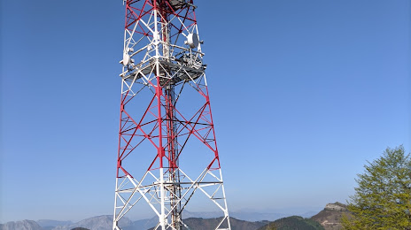
Photo
Where is located Azkonabieta
Azkonabieta — local attraction, which is located at 20690 Elgeta, Gipuzkoa, Spain and belongs to the category — hiking area. Average visitor rating for this place — 4.4 (according to 17 ratings, information from open sources and relevant for 2022).
Exact location — Azkonabieta, marked on the map with a red marker.
You can get directions to Azkonabieta on the map from your location.
What else is interesting in Elgoibar? You can see all the sights if you go to the city page.
Coordinates
Azkonabieta, Spain coordinates in decimal format: latitude — 43.155386958996914, longitude — -2.468161674968895. When converted to degrees, minutes, seconds Azkonabieta has the following coordinates: 43°9′19.39 north latitude and -2°28′5.38 east longitude.
Nearby cities
The largest cities that are located nearby:
- San Sebastián — 37 km
- Bilbao — 42 km
- Vitoria-Gasteiz — 45 km
- Pamplona — 77 km
- Logroño — 83 km
- Santander — 115 km
- Burgos — 142 km
- Zaragoza — 214 km
- Bordeaux
 (France) — 230 km
 - Valladolid — 258 km
- Gijón — 263 km
- León — 266 km
- Oviedo — 277 km
- Lleida — 307 km
- Toulouse (France) — 312 km
- Alcala de Henares — 313 km
- Alcobendas — 313 km
- Torrejón de Ardoz — 318 km
- Leganés — 339 km
Distance to the capital
Distance to the capital (Madrid) is about — 321 km.