Trombudo Central — Dourados
Trombudo Central — Patos de Minas
Trombudo Central — Ibiporã
Trombudo Central — Pratinha
Trombudo Central — Paraíso do Tocantins
Trombudo Central — Cambará do Sul
Trombudo Central — Lajeado
Trombudo Central — Conservatória
Trombudo Central — Alpestre
Trombudo Central — Fortaleza dos Nogueiras
Trombudo Central — Goiás
Trombudo Central — Formiga
Trombudo Central — Tucano
Trombudo Central — Cajobi
Trombudo Central — Paranaíba
Trombudo Central — Campo Grande International Airport
Trombudo Central — Porteiras
Trombudo Central — Cerqueira César
Trombudo Central — Clementina
Rio do Sul
Lontras
Ibirama
Ascurra
Rodeio
Indaial
Blumenau
Gaspar
Ilhota
Itajaí
Itajaí
Camboriú
Camboriú
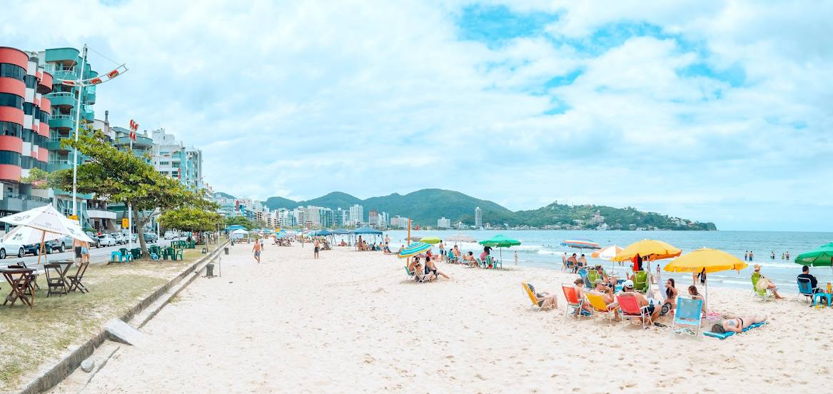
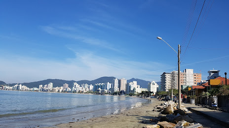
Trombudo Central — Itapema distance, route on the map
Distance by car
Distance between Trombudo Central, Santa Catarina, Brazil and Itapema, Santa Catarina, Brazil by car is — km, or miles. To travel this distance by car, you need minute, or h.
Route on the map, driving directions
Car route Trombudo Central — Itapema was created automatically. The road on the map is shown as a blue line. By moving the markers, you can create a new route through the points you need.
Passing cities through which the car route passes: Laurentino, Rio do Sul, Lontras, Ibirama, Ascurra, Rodeio, Indaial, Blumenau, Gaspar, Ilhota, Itajaí, Itajaí, Camboriú, Camboriú.
Distance by plane
If you decide to take a trip Trombudo Central Itapema by plane, then you have to fly the distance — 119 km or 74 miles. It is marked on the map with a gray line (between two points in a straight line).
Flight time
Estimated flight time Trombudo Central Itapema by plane at cruising speed 750 km / h will be — 9 min.
Direction of movement
Brazil, Trombudo Central — right-hand traffic. Brazil, Itapema — right-hand traffic.
Difference in time
Trombudo Central and Itapema are in the same time zone. Between them there is no time difference (UTC -3 America/Sao_Paulo).
Interesting Facts
Information on alternative ways to get to your destination.
The length of this distance is about 0.3% of the total length of the equator.
The percentage of the population is clearly shown in the graph:
Trombudo Central — 5,895 (less by 30,871), Itapema — 36,766 residents.
The cost of travel
Calculate the cost of the trip yourself using the fuel consumption calculator, changing the data in the table.