
 Jandelsbrunn
Kirkel
Rastatt
Görwihl
Bissingen
Klieken
Wetzlar
Krailling
Holzwickede
Welle
Frickenhausen
Aretsried
Radebeul
Garrel
Altenburg
Salz
Hermeskeil
Eggenstein
Stuhr
Jandelsbrunn
Kirkel
Rastatt
Görwihl
Bissingen
Klieken
Wetzlar
Krailling
Holzwickede
Welle
Frickenhausen
Aretsried
Radebeul
Garrel
Altenburg
Salz
Hermeskeil
Eggenstein
Stuhr
Zittau on the map, Germany
Where is located Zittau
Exact location — Zittau, Dresden, Saxony, Germany, marked on the map with a red marker.
Coordinates
Zittau, Germany coordinates in decimal format: latitude — 50.8999681, longitude — 14.8029971. When converted to degrees, minutes, seconds Zittau has the following coordinates: 50°53′59.89 north latitude and 14°48′10.79 east longitude.
Population
Zittau, Dresden, Saxony, Germany, according to our data the population is — 25,527 residents, which is about 0% of the total population of the country (Germany).
Comparison of the population on the graph:
Exact time
Time zone for this location Zittau — UTC +2 Europe/Berlin. Exact time — thursday, 5 may 2024 year, 22 h. 55 minutes.
Sunrise and sunset
Zittau, sunrise and sunset data for a date — thursday 9.05.2024.
| Sunrise | Sunset | Day (duration) |
|---|---|---|
| 05:23 -2 minutes | 20:30 +1 minute | 15 h. 6 minutes. +3 minutes |
You can control the scale of the map using the auxiliary tools to find out exactly where it is located Zittau. When you change the scale of the map, the width of the ruler also changes (in kilometers and miles).
Nearby cities
The largest cities that are located nearby:
- Dresden — 76 km
- Prague
 (Czech Republic) — 95 km
 - Legnica
 (Poland) — 100 km
 - Cottbus — 100 km
- Walbrzych (Poland) — 104 km
- Zielona Gora (Poland) — 124 km
- Chemnitz — 132 km
- Wrocław (Poland) — 157 km
- Pilsen (Czech Republic) — 164 km
- Leipzig — 175 km
- Gera — 190 km
- Berlin — 201 km
- Potsdam — 202 km
- Gorzów Wielkopolski (Poland) — 205 km
- Poznań (Poland) — 220 km
- Opole (Poland) — 220 km
- Olomouc (Czech Republic) — 227 km
- Brno (Czech Republic) — 229 km
- Kalisz (Poland) — 244 km
Distance to neighboring capitals:
- Prague (Czech Republic) — 95 km
- Vienna
 (Austria) — 320 km
 - Warsaw (Poland) — 454 km
- Ljubljana
 (Slovenia) — 539 km
 - Copenhagen
 (Denmark) — 552 km
 - Vaduz
 (Liechtenstein) — 568 km
 - Bern
 (Switzerland) — 694 km
 - Amsterdam
 (Netherlands) — 703 km
 - Brussels
 (Belgium) — 733 km
 - Paris
 (France) — 920 km
 - Paris (France) — 920 km
- Minsk
 (Belarus) — 926 km
 - Stockholm
 (Sweden) — 955 km
 - Rome
 (Italy) — 1016 km
 - Oslo
 (Norway) — 1034 km
 - Kyiv
 (Ukraine) — 1107 km
 - Helsinki
 (Finland) — 1210 km
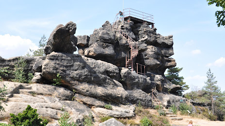
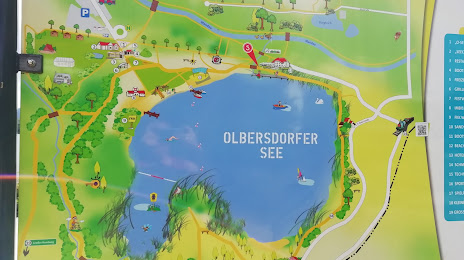
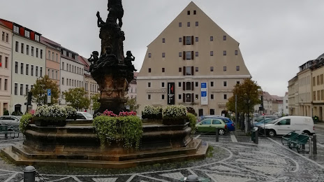
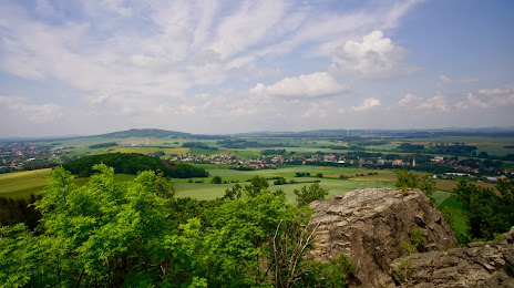
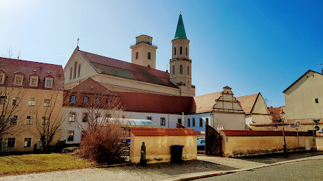
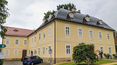
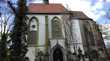
Attractions


Distance to the capital
Distance to the capital (Berlin) is about — 204 km.