
 Józefów nad Wisłą
Gorzyce Wielkie
Rogówek
Sromowce Niżne
Wyszków County
Kruszewo
Jantar
Sady Górne
Nagoszewo
Józefów nad Wisłą
Gorzyce Wielkie
Rogówek
Sromowce Niżne
Wyszków County
Kruszewo
Jantar
Sady Górne
Nagoszewo
Muzeum Ziemi Sokólskiej on the map, Sokolka, Poland
Photo
Where is located Muzeum Ziemi Sokólskiej
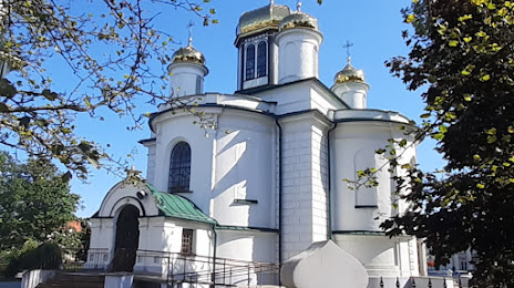
Muzeum Ziemi Sokólskiej — local attraction, which is located at Marszałka Józefa Piłsudskiego 2, 16-100 Sokółka, Poland and belongs to the category — museum. Average visitor rating for this place — 4.5 (according to 90 ratings, information from open sources and relevant for 2022).
Exact location — Muzeum Ziemi Sokólskiej, marked on the map with a red marker.
You can get directions to Muzeum Ziemi Sokólskiej on the map from your location.
What else is interesting in Sokolka? You can see all the sights if you go to the city page.
Coordinates
Muzeum Ziemi Sokólskiej, Poland coordinates in decimal format: latitude — 53.40574739829477, longitude — 23.496769125390127. When converted to degrees, minutes, seconds Muzeum Ziemi Sokólskiej has the following coordinates: 53°24′20.69 north latitude and 23°29′48.37 east longitude.
Nearby cities
The largest cities that are located nearby:
- Bialystok — 38 km
- Brest
 (Belarus) — 146 km
 - Kaunas
 (Lithuania) — 167 km
 - Baranovichi (Belarus) — 169 km
- Vilnius (Lithuania) — 182 km
- Olsztyn — 202 km
- Pinsk (Belarus) — 225 km
- Maladzyechna (Belarus) — 238 km
- Kaliningrad
 (Russia) — 240 km
 - Lublin — 247 km
- Panevėžys (Lithuania) — 263 km
- Minsk (Belarus) — 270 km
- Plock — 272 km
- Radom — 275 km
- Elblag — 278 km
- Salihorsk (Belarus) — 278 km
- Šiauliai (Lithuania) — 280 km
- Klaipėda (Lithuania) — 293 km
- Wloclawek — 309 km
Distance to the capital
Distance to the capital (Warsaw) is about — 212 km.