
 Cubillo
Mollerussa
Consell
Berdún
Camprodon
Abadiño
Armilla
Santiago del Teide
Rioja
Mataró
Elcano
Hornos
Pamplona
Amurrio
La Estrella
Urnieta
Murcia
L'Hospitalet de Llobregat
Arrasate
Cubillo
Mollerussa
Consell
Berdún
Camprodon
Abadiño
Armilla
Santiago del Teide
Rioja
Mataró
Elcano
Hornos
Pamplona
Amurrio
La Estrella
Urnieta
Murcia
L'Hospitalet de Llobregat
Arrasate
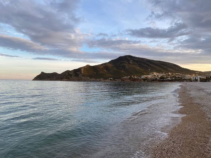
Altea on the map, Spain
Where is located Altea
Exact location — Altea, Alicante, Comunidad Valenciana, Spain, marked on the map with a red marker.
Coordinates
Altea, Spain coordinates in decimal format: latitude — 38.6029075, longitude — -0.0450666. When converted to degrees, minutes, seconds Altea has the following coordinates: 38°36′10.47 north latitude and -0°2′42.24 east longitude.
Population
Altea, Alicante, Comunidad Valenciana, Spain, according to our data the population is — 18,588 residents, which is about 0% of the total population of the country (Spain).
Comparison of the population on the graph:
Exact time
Time zone for this location Altea — UTC +2 Europe/Madrid. Exact time — monday, 4 april 2024 year, 14 h. 36 minutes.
Sunrise and sunset
Altea, sunrise and sunset data for a date — monday 29.04.2024.
| Sunrise | Sunset | Day (duration) |
|---|---|---|
| 07:07 -1 minute | 20:47 +1 minute | 13 h. 42 minutes. +2 minutes |
You can control the scale of the map using the auxiliary tools to find out exactly where it is located Altea. When you change the scale of the map, the width of the ruler also changes (in kilometers and miles).
Nearby cities
The largest cities that are located nearby:
- Valencia — 100 km
- Murcia — 116 km
- Cartagena — 136 km
- Albacete — 162 km
- Palma — 253 km
- Almería — 290 km
- Chlef
 (Algeria) — 296 km
 - Tarragona — 298 km
- Relizane (Algeria) — 322 km
- Oran (Algeria) — 326 km
- Lleida — 338 km
- Jaén — 339 km
- Algiers (Algeria) — 342 km
- Zaragoza — 344 km
- Alcala de Henares — 348 km
- Granada — 350 km
- Torrejón de Ardoz — 354 km
- L'Hospitalet de Llobregat — 354 km
- Médéa (Algeria) — 359 km
Distance to neighboring capitals:
- Andorra la Vella
 (Andorra) — 454 km
 - Lisbon
 (Portugal) — 790 km
 - Rabat
 (Morocco) — 798 km
 - Paris
 (France) — 1156 km
 - Paris (France) — 1156 km
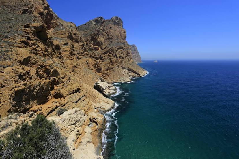
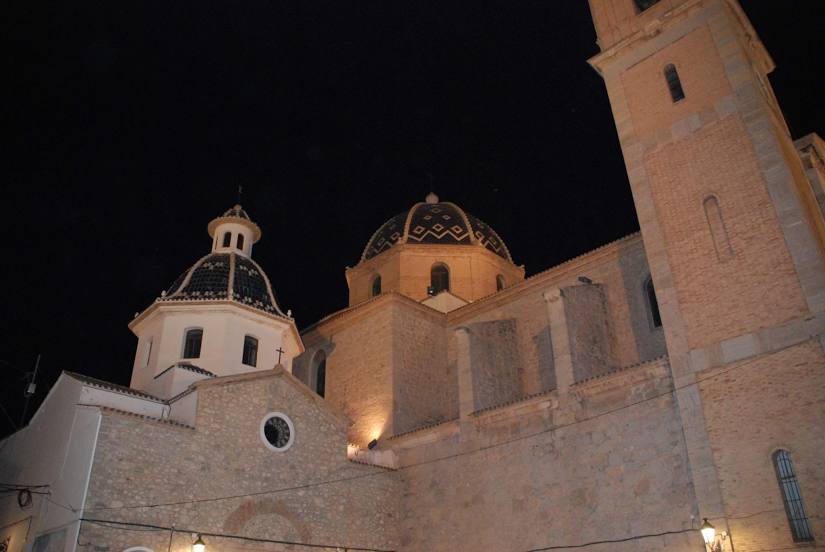
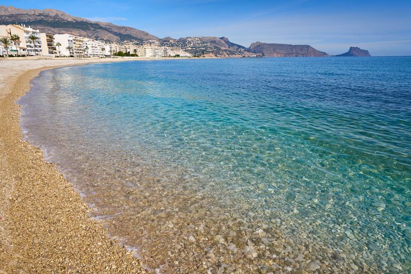
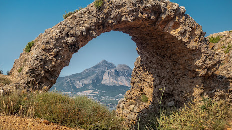
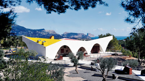
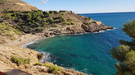
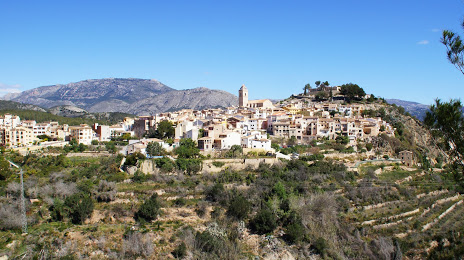
Attractions


Distance to the capital
Distance to the capital (Madrid) is about — 373 km.