
 Mollerussa
Consell
Berdún
Camprodon
Abadiño
Armilla
Santiago del Teide
Rioja
Zumaia
La Alberca
Mataró
Elcano
Hornos
Pamplona
Amurrio
La Estrella
Urnieta
Murcia
L'Hospitalet de Llobregat
Mollerussa
Consell
Berdún
Camprodon
Abadiño
Armilla
Santiago del Teide
Rioja
Zumaia
La Alberca
Mataró
Elcano
Hornos
Pamplona
Amurrio
La Estrella
Urnieta
Murcia
L'Hospitalet de Llobregat
Alcorcón on the map, Spain
Where is located Alcorcón
Exact location — Alcorcón, Madrid, Comunidad de Madrid, Spain, marked on the map with a red marker.
Coordinates
Alcorcón, Spain coordinates in decimal format: latitude — 40.3468454, longitude — -3.8278443. When converted to degrees, minutes, seconds Alcorcón has the following coordinates: 40°20′48.64 north latitude and -3°49′40.24 east longitude.
Population
Alcorcón, Madrid, Comunidad de Madrid, Spain, according to our data the population is — 169,343 residents, which is about 0.4% of the total population of the country (Spain).
Comparison of the population on the graph:
Exact time
Time zone for this location Alcorcón — UTC +2 Europe/Madrid. Exact time — sunday, 4 april 2024 year, 12 h. 08 minutes.
Sunrise and sunset
Alcorcón, sunrise and sunset data for a date — sunday 28.04.2024.
| Sunrise | Sunset | Day (duration) |
|---|---|---|
| 07:20 -2 minutes | 21:04 +1 minute | 13 h. 42 minutes. +3 minutes |
You can control the scale of the map using the auxiliary tools to find out exactly where it is located Alcorcón. When you change the scale of the map, the width of the ruler also changes (in kilometers and miles).
Nearby cities
The largest cities that are located nearby:
- Móstoles — 4 km
- Leganés — 5 km
- Fuenlabrada — 7 km
- Getafe — 9 km
- Alcobendas — 26 km
- Torrejón de Ardoz — 32 km
- Alcala de Henares — 42 km
- Valladolid — 162 km
- Salamanca — 168 km
- Burgos — 221 km
- Albacete — 226 km
- Logroño — 260 km
- Zaragoza — 282 km
- Jaén — 284 km
- Córdoba — 284 km
- León — 286 km
- Vitoria-Gasteiz — 293 km
- Valencia — 310 km
- Badajoz — 315 km
Distance to neighboring capitals:
- Lisbon
 (Portugal) — 490 km
 - Andorra la Vella
 (Andorra) — 507 km
 - Rabat
 (Morocco) — 758 km
 - Paris
 (France) — 1065 km
 - Paris (France) — 1065 km
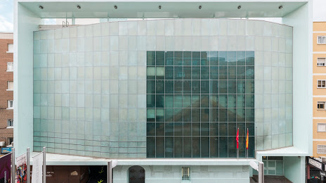
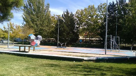
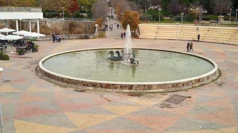
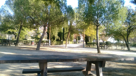
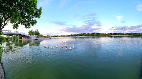
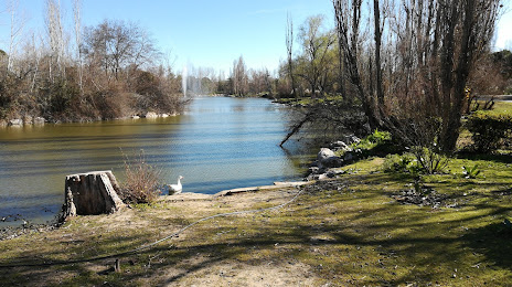
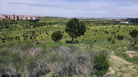
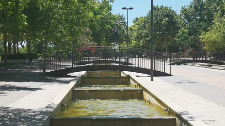
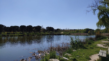
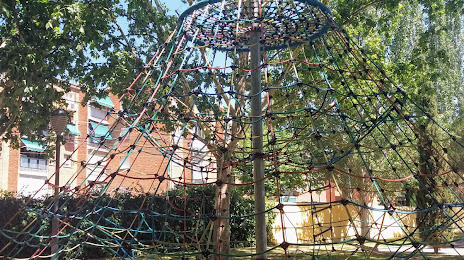
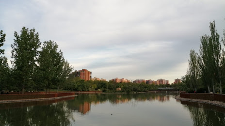
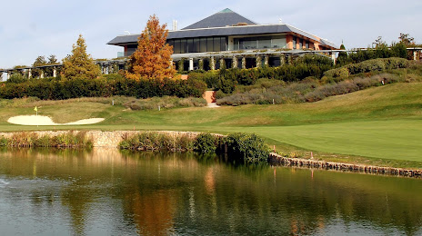
Attractions


Distance to the capital
Distance to the capital (Madrid) is about — 13 km.