San Juan Bautista — Santiago Tilantongo
San Juan Bautista — Monterrey
San Juan Bautista — Peto
San Juan Bautista — Chiquilistlán
San Juan Bautista — Ixtepec
San Juan Bautista — Gómez Farías Municipality
San Juan Bautista — Laguna Guerrero
San Juan Bautista — Bacabachi
San Juan Bautista — El Tunal
San Juan Bautista — Huehuetán
San Juan Bautista — Ciudad Mendoza
San Juan Bautista — Chorreras
San Juan Bautista — Tlaxcala
San Juan Bautista — Tila
San Juan Bautista — Tlaxcalancingo
San Juan Bautista — San Miguel Totolapan
San Juan Bautista — Atotonilco de Tula
San Juan Bautista — Casitas
San Juan Bautista — Naica
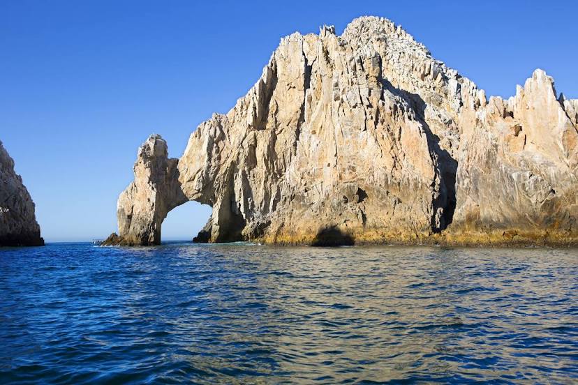
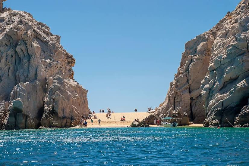
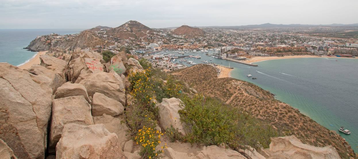
San Juan Bautista — Cabo San Lucas distance, route on the map
Distance by car
Distance between San Juan Bautista, Estado de México, Mexico and Cabo San Lucas, Baja California Sur, Mexico by car is — km, or miles. To travel this distance by car, you need minute, or h.
Route on the map, driving directions
Car route San Juan Bautista — Cabo San Lucas was created automatically. The road on the map is shown as a blue line. By moving the markers, you can create a new route through the points you need.
Distance by plane
If you decide to take a trip San Juan Bautista Cabo San Lucas by plane, then you have to fly the distance — 1140 km or 707 miles. It is marked on the map with a gray line (between two points in a straight line).
Flight time
Estimated flight time San Juan Bautista Cabo San Lucas by plane at cruising speed 750 km / h will be — 1 h. and 31 min.
Direction of movement
Mexico, San Juan Bautista — right-hand traffic. Mexico, Cabo San Lucas — right-hand traffic.
Difference in time
San Juan Bautista and Cabo San Lucas are in different time zones. The time difference is 1 hour (UTC -6 America/Mexico_City, UTC -7 America/Mazatlan).
Interesting Facts
Information on alternative ways to get to your destination.
The length of this distance is about 2.8% of the total length of the equator.
The cost of travel
Calculate the cost of the trip yourself using the fuel consumption calculator, changing the data in the table.