Vredefort — Schmidtsdrif
Vredefort — Robertson
Vredefort — Riverview
Vredefort — Diepkloof
Vredefort — South Africa
Vredefort — George
Vredefort — Kakamas
Vredefort — Ogies
Vredefort — Bankfontein
Vredefort — York
Vredefort — Tsitsikamma
Vredefort — Bela-Bela
Vredefort — Citrusdal
Vredefort — Rustenburg
Vredefort — Rayton
Vredefort — Concordia
Vredefort — Baltimore
Vredefort — Boshof
Vredefort — Manguzi
Parys
Sasolburg
Vanderbijlpark
Vereeniging
Risiville
Buyscelia AH
Villiers
Roadside
Warden
Harrismith
Harrismith
Harrismith
South Africa
Estcourt
Mooi River
Nottingham Road
Balgowan
Lions River
Howick
Hilton
Leonard
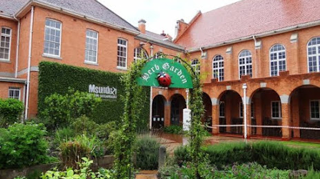
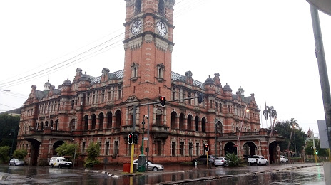
Pietermaritzburg
Vredefort — Schmidtsdrif
Vredefort — Robertson
Vredefort — Riverview
Vredefort — Diepkloof
Vredefort — South Africa
Vredefort — George
Vredefort — Kakamas
Vredefort — Ogies
Vredefort — Bankfontein
Vredefort — York
Vredefort — Tsitsikamma
Vredefort — Bela-Bela
Vredefort — Citrusdal
Vredefort — Rustenburg
Vredefort — Rayton
Vredefort — Concordia
Vredefort — Baltimore
Vredefort — Boshof
Vredefort — Manguzi
Parys
Sasolburg
Vanderbijlpark
Vereeniging
Risiville
Buyscelia AH
Villiers
Roadside
Warden
Harrismith
Harrismith
Harrismith
South Africa
Estcourt
Mooi River
Nottingham Road
Balgowan
Lions River
Howick
Hilton
Leonard
Pietermaritzburg
Vredefort — Pietermaritzburg distance, route on the map
Distance by car
Distance between Vredefort, Free State, South Africa and Pietermaritzburg, KwaZulu-Natal, South Africa by car is — km, or miles. To travel this distance by car, you need minute, or h.
Route on the map, driving directions
Car route Vredefort — Pietermaritzburg was created automatically. The road on the map is shown as a blue line. By moving the markers, you can create a new route through the points you need.
Passing cities through which the car route passes: Riastuine AH, Parys, Sasolburg, Vanderbijlpark, Vereeniging, Risiville, Buyscelia AH, Villiers, Roadside, Warden, Harrismith, Harrismith, Harrismith, South Africa, Estcourt, Mooi River, Nottingham Road, Balgowan, Lions River, Howick, Hilton, Leonard, Pietermaritzburg.
Distance by plane
If you decide to take a trip Vredefort Pietermaritzburg by plane, then you have to fly the distance — 413 km or 256 miles. It is marked on the map with a gray line (between two points in a straight line).
Flight time
Estimated flight time Vredefort Pietermaritzburg by plane at cruising speed 750 km / h will be — 33 min.
Direction of movement
South Africa, Vredefort — left-hand traffic. South Africa, Pietermaritzburg — left-hand traffic.
Difference in time
Vredefort and Pietermaritzburg are in the same time zone. Between them there is no time difference (UTC +2 Africa/Johannesburg).
Interesting Facts
Information on alternative ways to get to your destination.
The length of this distance is about 1.0% of the total length of the equator.
The percentage of the population is clearly shown in the graph:
Vredefort — 10,649 (less by 740,215), Pietermaritzburg — 750,864 residents.
The cost of travel
Calculate the cost of the trip yourself using the fuel consumption calculator, changing the data in the table.