Saint Paul — Johnson City
Saint Paul — St. Louis
Saint Paul — Nicasio
Saint Paul — Swainton
Saint Paul — Iredell County
Saint Paul — Drayton
Saint Paul — Elko
Saint Paul — West Haven
Saint Paul — Ideal
Saint Paul — Middletown
Saint Paul — Wakita
Saint Paul — Ashland
Saint Paul — Bronston
Saint Paul — Fortine
Saint Paul — Euless
Saint Paul — Walshville
Saint Paul — Torrington
Saint Paul — Lairdsville
Saint Paul — North Kingstown
Saint Paul — Overland Park distance, route on the map
Distance by car
Distance between Saint Paul, Minnesota, United States and Overland Park, Kansas, United States by car is — km, or miles. To travel this distance by car, you need minute, or h.
Route on the map, driving directions
Car route Saint Paul — Overland Park was created automatically. The road on the map is shown as a blue line. By moving the markers, you can create a new route through the points you need.
Distance by plane
If you decide to take a trip Saint Paul Overland Park by plane, then you have to fly the distance — 677 km or 420 miles. It is marked on the map with a gray line (between two points in a straight line).
Flight time
Estimated flight time Saint Paul Overland Park by plane at cruising speed 750 km / h will be — 54 min.
Direction of movement
United States, Saint Paul — right-hand traffic. United States, Overland Park — right-hand traffic.
Difference in time
Saint Paul and Overland Park are in the same time zone. Between them there is no time difference (UTC -5 America/Chicago).
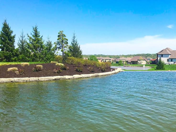
Interesting Facts
Information on alternative ways to get to your destination.
The length of this distance is about 1.7% of the total length of the equator.
The percentage of the population is clearly shown in the graph:
Saint Paul — 274,792, Overland Park — 166,010 residents (less by 108,782).
The cost of travel
Calculate the cost of the trip yourself using the fuel consumption calculator, changing the data in the table.
Calculate the cost of other distances from the starting point — Saint Paul.