Fort Worth — Grantsville
Fort Worth — Deweyville
Fort Worth — Salcha
Fort Worth — Attalla
Fort Worth — Galveston
Fort Worth — Holton
Fort Worth — Bendersville
Fort Worth — Avon
Fort Worth — Moosic
Fort Worth — Samaria
Fort Worth — Salt Lake County
Fort Worth — Gonzales
Fort Worth — Bowdoinham
Fort Worth — Newark
Fort Worth — Uniontown
Fort Worth — Kimmell
Fort Worth — Belgrade
Fort Worth — Delano
Fort Worth — Supai
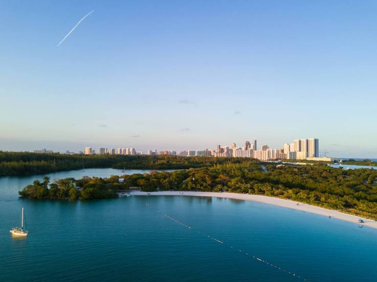
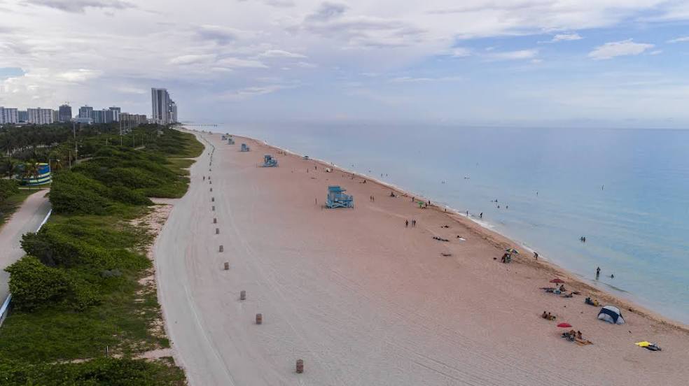
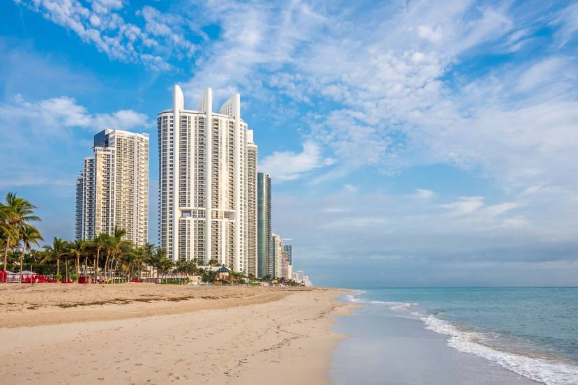
Fort Worth — Sunny Isles Beach distance, route on the map
Distance by car
Distance between Fort Worth, Texas, United States and Sunny Isles Beach, Florida, United States by car is — km, or miles. To travel this distance by car, you need minute, or h.
Route on the map, driving directions
Car route Fort Worth — Sunny Isles Beach was created automatically. The road on the map is shown as a blue line. By moving the markers, you can create a new route through the points you need.
Distance by plane
If you decide to take a trip Fort Worth Sunny Isles Beach by plane, then you have to fly the distance — 1829 km or 1134 miles. It is marked on the map with a gray line (between two points in a straight line).
Flight time
Estimated flight time Fort Worth Sunny Isles Beach by plane at cruising speed 750 km / h will be — 2 h. and 26 min.
Direction of movement
United States, Fort Worth — right-hand traffic. United States, Sunny Isles Beach — right-hand traffic.
Difference in time
Fort Worth and Sunny Isles Beach are in different time zones. The time difference is 1 hour (UTC -5 America/Chicago, UTC -4 America/New_York).
Interesting Facts
Information on alternative ways to get to your destination.
The length of this distance is about 4.6% of the total length of the equator.
The cost of travel
Calculate the cost of the trip yourself using the fuel consumption calculator, changing the data in the table.
Calculate the cost of other distances from the starting point — Fort Worth.