 Middlebury
Overland Park
Grain Valley
Hiawatha
Springfield
Pineville
Winfield Airport
Tacoma
Dayton
Fuquay Varina
Chesapeake
Leesburg
Piru
Winchester
Catlett
Gordonsville
Arlington
Warrenton
Herndon
Middlebury
Overland Park
Grain Valley
Hiawatha
Springfield
Pineville
Winfield Airport
Tacoma
Dayton
Fuquay Varina
Chesapeake
Leesburg
Piru
Winchester
Catlett
Gordonsville
Arlington
Warrenton
Herndon
Rancho Cucamonga on the map, United States
Where is located Rancho Cucamonga
Exact location — Rancho Cucamonga, San Bernardino County, California, United States, marked on the map with a red marker.
Coordinates
Rancho Cucamonga, United States coordinates in decimal format: latitude — 34.1063989, longitude — -117.5931084. When converted to degrees, minutes, seconds Rancho Cucamonga has the following coordinates: 34°6′23.04 north latitude and -117°35′35.19 east longitude.
Population
Rancho Cucamonga, San Bernardino County, California, United States, according to our data the population is — 168,557 residents, which is about 0.1% of the total population of the country (United States).
Comparison of the population on the graph:
Exact time
Time zone for this location Rancho Cucamonga — UTC -7 America/Los_Angeles. Exact time — thursday, 4 april 2024 year, 17 h. 07 minutes.
Sunrise and sunset
Rancho Cucamonga, sunrise and sunset data for a date — thursday 25.04.2024.
| Sunrise | Sunset | Day (duration) |
|---|---|---|
| 06:09 -1 minute | 19:27 +1 minute | 13 h. 18 minutes. +2 minutes |
You can control the scale of the map using the auxiliary tools to find out exactly where it is located Rancho Cucamonga. When you change the scale of the map, the width of the ruler also changes (in kilometers and miles).
Nearby cities
The largest cities that are located nearby:
- Ontario — 7 km
- Fontana — 15 km
- Pomona — 15 km
- Rialto — 20 km
- Riverside — 25 km
- Corona — 26 km
- San Bernardino — 28 km
- West Covina — 32 km
- Moreno Valley — 38 km
- El Monte — 40 km
- Fullerton — 40 km
- Anaheim — 42 km
- Orange — 43 km
- Santa Ana — 47 km
- Garden Grove — 49 km
- Norwalk — 50 km
- Irvine — 50 km
- Pasadena — 51 km
- Downey — 53 km
Distance to neighboring capitals:
- Mexico City
 (Mexico) — 2447 km
 - Belmopan
 (Belize) — 3425 km
 - Guatemala City
 (Guatemala) — 3475 km
 - Ottawa
 (Canada) — 3748 km
 - Nuuk
 (Greenland) — 5482 km
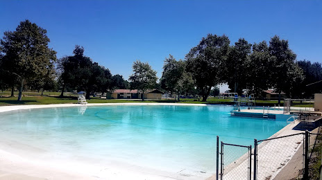
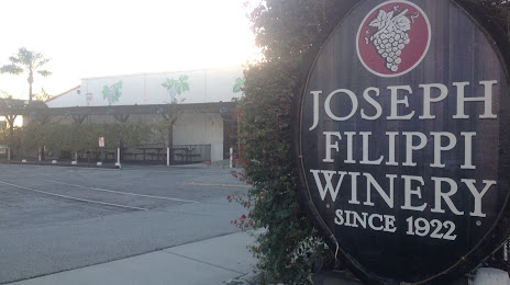
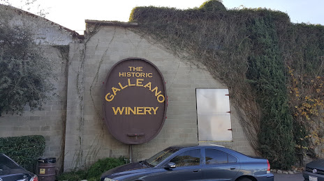
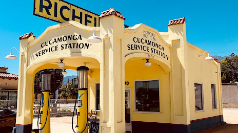
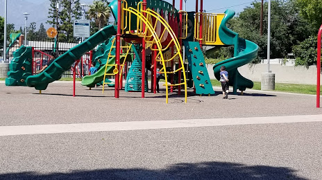
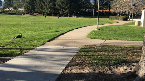
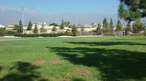
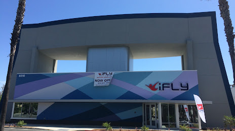
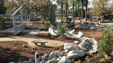
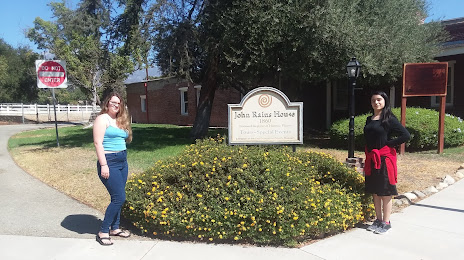
Attractions


Distance to the capital
Distance to the capital (Washington) is about — 3635 km.