Albuquerque — Heartwell
Albuquerque — Pecks Mill
Albuquerque — Branchburg
Albuquerque — Malta Airport
Albuquerque — Gainesville
Albuquerque — Amma
Albuquerque — Navajo
Albuquerque — Hugo
Albuquerque — Willet
Albuquerque — Willards
Albuquerque — Saint Marys
Albuquerque — Poth
Albuquerque — Honey Brook
Albuquerque — Mission Viejo
Albuquerque — Culbertson
Albuquerque — Koosharem
Albuquerque — Sturgis
Albuquerque — Shumway
Albuquerque — Frametown
Cedar Crest
Moriarty
Santa Rosa
Tucumcari
San Jon
Vega
Amarillo
Rick Husband Amarillo International Airport
Rick Husband Amarillo International Airport
McLean
Texola
Erick
Elk City
Elk City Regional Business Airport
Canute
Foss
Hinton
Harman Airport
El Reno
Yukon
Bethany
Edmond
Edmond
Oklahoma County
Kendrick
Stroud
Milfay
Kellyville
Sapulpa
Sand Springs
Tulsa
Tulsa
Tulsa International Airport
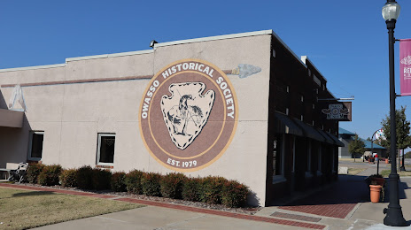
Owasso
Albuquerque — Heartwell
Albuquerque — Pecks Mill
Albuquerque — Branchburg
Albuquerque — Malta Airport
Albuquerque — Gainesville
Albuquerque — Amma
Albuquerque — Navajo
Albuquerque — Hugo
Albuquerque — Willet
Albuquerque — Willards
Albuquerque — Saint Marys
Albuquerque — Poth
Albuquerque — Honey Brook
Albuquerque — Mission Viejo
Albuquerque — Culbertson
Albuquerque — Koosharem
Albuquerque — Sturgis
Albuquerque — Shumway
Albuquerque — Frametown
Cedar Crest
Moriarty
Santa Rosa
Tucumcari
San Jon
Vega
Amarillo
Rick Husband Amarillo International Airport
Rick Husband Amarillo International Airport
McLean
Texola
Erick
Elk City
Elk City Regional Business Airport
Canute
Foss
Hinton
Harman Airport
El Reno
Yukon
Bethany
Edmond
Edmond
Oklahoma County
Kendrick
Stroud
Milfay
Kellyville
Sapulpa
Sand Springs
Tulsa
Tulsa
Tulsa International Airport
Owasso
Albuquerque — Owasso distance, route on the map
Distance by car
Distance between Albuquerque, New Mexico, United States and Owasso, Oklahoma, United States by car is — km, or miles. To travel this distance by car, you need minute, or h.
Route on the map, driving directions
Car route Albuquerque — Owasso was created automatically. The road on the map is shown as a blue line. By moving the markers, you can create a new route through the points you need.
Passing cities through which the car route passes: Albuquerque, Cedar Crest, Moriarty, Santa Rosa, Tucumcari, San Jon, Vega, Amarillo, Rick Husband Amarillo International Airport, Rick Husband Amarillo International Airport, McLean, Texola, Erick, Elk City, Elk City Regional Business Airport, Canute, Foss, Hinton, Harman Airport, El Reno, Yukon, Bethany, Edmond, Edmond, Oklahoma County, Kendrick, Stroud, Milfay, Kellyville, Sapulpa, Sand Springs, Tulsa, Tulsa, Tulsa International Airport, Owasso.
Distance by plane
If you decide to take a trip Albuquerque Owasso by plane, then you have to fly the distance — 980 km or 608 miles. It is marked on the map with a gray line (between two points in a straight line).
Flight time
Estimated flight time Albuquerque Owasso by plane at cruising speed 750 km / h will be — 1 h. and 18 min.
Direction of movement
United States, Albuquerque — right-hand traffic. United States, Owasso — right-hand traffic.
Difference in time
Albuquerque and Owasso are in different time zones. The time difference is 1 hour (UTC -6 America/Denver, UTC -5 America/Chicago).
Interesting Facts
Information on alternative ways to get to your destination.
The length of this distance is about 2.4% of the total length of the equator.
The percentage of the population is clearly shown in the graph:
Albuquerque — 487,378, Owasso — 23,923 residents (less by 463,455).
The cost of travel
Calculate the cost of the trip yourself using the fuel consumption calculator, changing the data in the table.
Calculate the cost of other distances from the starting point — Albuquerque.