 Cadillac
Middletown
Fayetteville
Branson
Pryor Creek
Gilroy
Walnut Creek
Manistee
Rancho Cordova
Alameda
Garden City
Elk Rapids
Rock Port
Mount Arlington
Cedar Lake
Springfield
Jacksboro
Glendale
Kaufman
Cadillac
Middletown
Fayetteville
Branson
Pryor Creek
Gilroy
Walnut Creek
Manistee
Rancho Cordova
Alameda
Garden City
Elk Rapids
Rock Port
Mount Arlington
Cedar Lake
Springfield
Jacksboro
Glendale
Kaufman
Owasso on the map, United States
Where is located Owasso
Exact location — Owasso, Tulsa County, Oklahoma, United States, marked on the map with a red marker.
Coordinates
Owasso, United States coordinates in decimal format: latitude — 36.2695388, longitude — -95.8547119. When converted to degrees, minutes, seconds Owasso has the following coordinates: 36°16′10.34 north latitude and -95°51′16.96 east longitude.
Population
Owasso, Tulsa County, Oklahoma, United States, according to our data the population is — 23,923 residents, which is about 0% of the total population of the country (United States).
Comparison of the population on the graph:
Exact time
Time zone for this location Owasso — UTC -5 America/Chicago. Exact time — friday, 4 april 2024 year, 12 h. 13 minutes.
Sunrise and sunset
Owasso, sunrise and sunset data for a date — friday 26.04.2024.
| Sunrise | Sunset | Day (duration) |
|---|---|---|
| 06:38 -1 minute | 20:04 +1 minute | 13 h. 24 minutes. +2 minutes |
You can control the scale of the map using the auxiliary tools to find out exactly where it is located Owasso. When you change the scale of the map, the width of the ruler also changes (in kilometers and miles).
Nearby cities
The largest cities that are located nearby:
- Tulsa — 18 km
- Oklahoma City — 174 km
- Norman — 184 km
- Wichita — 204 km
- Springfield — 248 km
- Olathe — 302 km
- Topeka — 308 km
- Overland Park — 317 km
- Kansas City — 332 km
- Independence — 336 km
- North Kansas City — 336 km
- Wichita Falls — 356 km
- Frisco — 356 km
- Denton — 358 km
- Little Rock — 365 km
- Plano — 368 km
- Richardson — 376 km
- Carrollton — 377 km
- Garland — 378 km
Distance to neighboring capitals:
- Mexico City
 (Mexico) — 1900 km
 - Ottawa
 (Canada) — 1970 km
 - Belmopan
 (Belize) — 2228 km
 - Guatemala City
 (Guatemala) — 2466 km
 - Nuuk
 (Greenland) — 4261 km
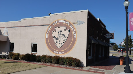
Attractions


Distance to the capital
Distance to the capital (Washington) is about — 1681 km.