Des Moines — Ohio
Des Moines — Adak
Des Moines — Keene
Des Moines — Brumley
Des Moines — La Madera
Des Moines — Frankfort
Des Moines — Meadowlands
Des Moines — Reardan
Des Moines — Vidor
Des Moines — Grabill
Des Moines — McCord Bend
Des Moines — Elk County
Des Moines — Readsboro
Des Moines — Colusa
Des Moines — Tannersville
Des Moines — Waller
Des Moines — Park City
Des Moines — Lincoln
Des Moines — Pacifica
Bondurant
Santiago
Grinnell
Ladora
Conroy
Coralville
Iowa City
Stockton
Walcott
Eldridge
Colona
Le Claire
Prophetstown
Rock Falls
Harmon
Eldena
Franklin Grove
Rochelle
Elva
DeKalb
Kaneville
Sugar Grove
North Aurora
Warrenville
Lisle
Downers Grove
Oak Brook
Westchester
Broadview
Maywood
Oak Park
Cicero
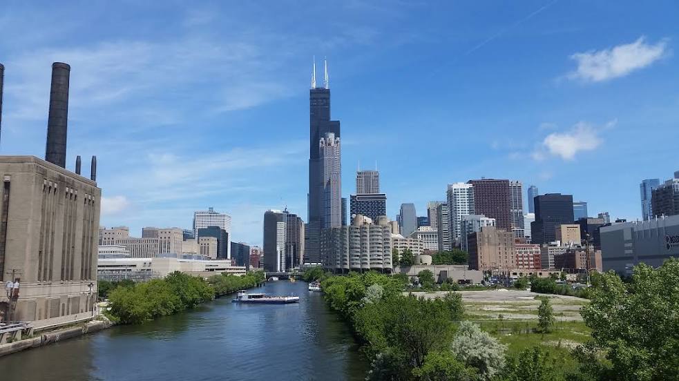
Chicago
Chicago
Des Moines — Ohio
Des Moines — Adak
Des Moines — Keene
Des Moines — Brumley
Des Moines — La Madera
Des Moines — Frankfort
Des Moines — Meadowlands
Des Moines — Reardan
Des Moines — Vidor
Des Moines — Grabill
Des Moines — McCord Bend
Des Moines — Elk County
Des Moines — Readsboro
Des Moines — Colusa
Des Moines — Tannersville
Des Moines — Waller
Des Moines — Park City
Des Moines — Lincoln
Des Moines — Pacifica
Bondurant
Santiago
Grinnell
Ladora
Conroy
Coralville
Iowa City
Stockton
Walcott
Eldridge
Colona
Le Claire
Prophetstown
Rock Falls
Harmon
Eldena
Franklin Grove
Rochelle
Elva
DeKalb
Kaneville
Sugar Grove
North Aurora
Warrenville
Lisle
Downers Grove
Oak Brook
Westchester
Broadview
Maywood
Oak Park
Cicero
Chicago
Chicago
Des Moines — Chicago distance, route on the map
Distance by car
Distance between Des Moines, Iowa, United States and Chicago, Illinois, United States by car is — km, or miles. To travel this distance by car, you need minute, or h.
Route on the map, driving directions
Car route Des Moines — Chicago was created automatically. The road on the map is shown as a blue line. By moving the markers, you can create a new route through the points you need.
Passing cities through which the car route passes: Des Moines, Bondurant, Santiago, Grinnell, Ladora, Conroy, Coralville, Iowa City, Stockton, Walcott, Eldridge, Colona, Le Claire, Prophetstown, Rock Falls, Harmon, Eldena, Franklin Grove, Rochelle, Elva, DeKalb, Kaneville, Sugar Grove, North Aurora, Warrenville, Lisle, Downers Grove, Oak Brook, Westchester, Broadview, Maywood, Oak Park, Cicero, Chicago, Chicago.
Distance by plane
If you decide to take a trip Des Moines Chicago by plane, then you have to fly the distance — 497 km or 308 miles. It is marked on the map with a gray line (between two points in a straight line).
Flight time
Estimated flight time Des Moines Chicago by plane at cruising speed 750 km / h will be — 39 min.
Direction of movement
United States, Des Moines — right-hand traffic. United States, Chicago — right-hand traffic.
Difference in time
Des Moines and Chicago are in the same time zone. Between them there is no time difference (UTC -5 America/Chicago).
Interesting Facts
Information on alternative ways to get to your destination.
The length of this distance is about 1.2% of the total length of the equator.
The percentage of the population is clearly shown in the graph:
Des Moines — 193,180 (less by 2,648,772), Chicago — 2,841,952 residents.
The cost of travel
Calculate the cost of the trip yourself using the fuel consumption calculator, changing the data in the table.
Calculate the cost of other distances from the starting point — Des Moines.