 Bolingbrook
Hacienda Heights
Savannah
Willowbrook
Enfield
Chino
Warwick
Murrysville
Coraopolis
Southfield
Evansville
Amarillo
Saint Paul
Perry
Rosamond
Omro
Urbandale
Norwich Landing Strip
Minneapolis
Bolingbrook
Hacienda Heights
Savannah
Willowbrook
Enfield
Chino
Warwick
Murrysville
Coraopolis
Southfield
Evansville
Amarillo
Saint Paul
Perry
Rosamond
Omro
Urbandale
Norwich Landing Strip
Minneapolis
Downers Grove on the map, United States
Where is located Downers Grove
Exact location — Downers Grove, DuPage County, Illinois, United States, marked on the map with a red marker.
Coordinates
Downers Grove, United States coordinates in decimal format: latitude — 41.8089191, longitude — -88.0111746. When converted to degrees, minutes, seconds Downers Grove has the following coordinates: 41°48′32.11 north latitude and -88°0′40.23 east longitude.
Population
Downers Grove, DuPage County, Illinois, United States, according to our data the population is — 49,504 residents, which is about 0% of the total population of the country (United States).
Comparison of the population on the graph:
Exact time
Time zone for this location Downers Grove — UTC -5 America/Chicago. Exact time — friday, 4 april 2024 year, 04 h. 15 minutes.
Sunrise and sunset
Downers Grove, sunrise and sunset data for a date — friday 26.04.2024.
| Sunrise | Sunset | Day (duration) |
|---|---|---|
| 05:57 -1 minute | 19:42 +1 minute | 13 h. 48 minutes. +2 minutes |
You can control the scale of the map using the auxiliary tools to find out exactly where it is located Downers Grove. When you change the scale of the map, the width of the ruler also changes (in kilometers and miles).
Nearby cities
The largest cities that are located nearby:
- Naperville — 13 km
- Aurora — 26 km
- Joliet — 32 km
- Chicago — 32 km
- Rockford — 102 km
- Milwaukee — 136 km
- South Bend — 146 km
- Madison — 179 km
- Peoria — 181 km
- Grand Rapids — 229 km
- Fort Wayne — 253 km
- Indianapolis — 275 km
- Lansing — 299 km
- Green Bay — 300 km
- Ann Arbor — 353 km
- Toledo — 368 km
- Flint — 374 km
- Saint Louis — 399 km
- Detroit — 410 km
Distance to neighboring capitals:
- Ottawa
 (Canada) — 1069 km
 - Mexico City
 (Mexico) — 2701 km
 - Belmopan
 (Belize) — 2732 km
 - Guatemala City
 (Guatemala) — 3035 km
 - Nuuk
 (Greenland) — 3390 km
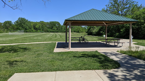
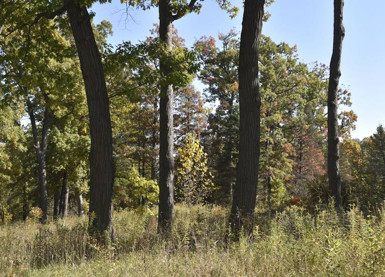
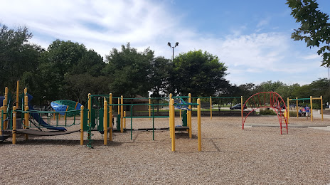
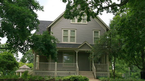
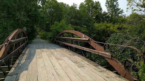
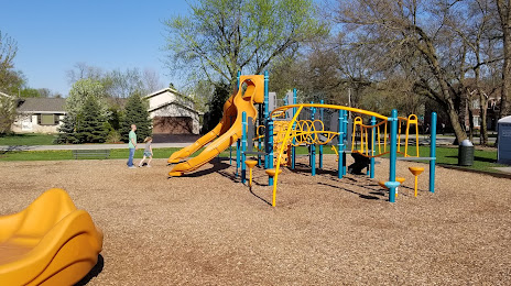
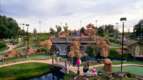
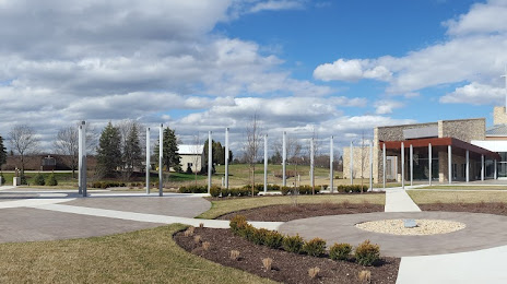
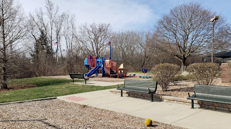
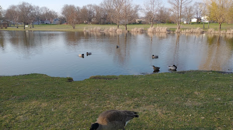
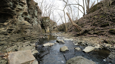
Attractions


Distance to the capital
Distance to the capital (Washington) is about — 984 km.