Des Moines — Branchville
Des Moines — Antes
Des Moines — Karval
Des Moines — Ruch
Des Moines — Adin
Des Moines — Mill Hall
Des Moines — Waterford charter Township
Des Moines — Geneseo Airport
Des Moines — Hardyville
Des Moines — Seaford
Des Moines — Pine Bank
Des Moines — Caballo
Des Moines — Brasstown
Des Moines — Ashburnham
Des Moines — Andrews
Des Moines — Laketown
Des Moines — Blockton
Des Moines — Keaau
Des Moines — Roxboro
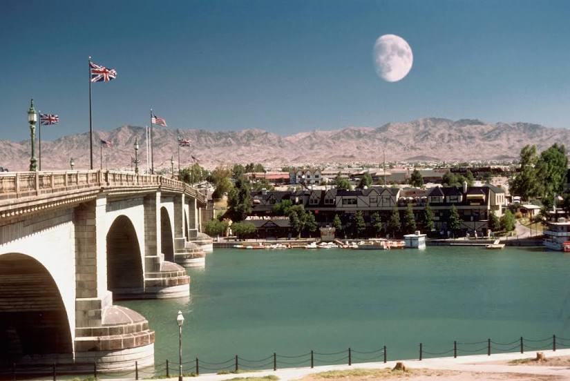
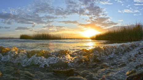
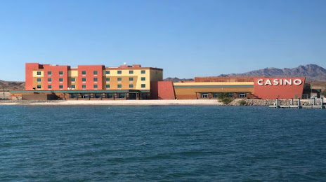
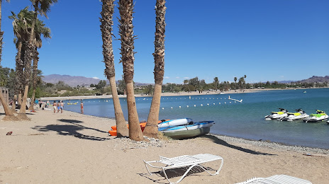
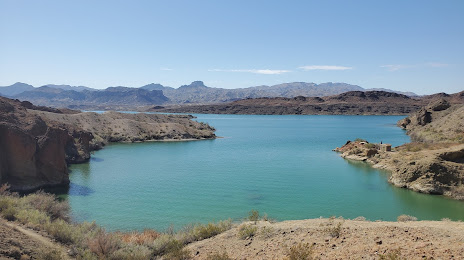
Des Moines — Lake Havasu City distance, route on the map
Distance by car
Distance between Des Moines, Iowa, United States and Lake Havasu City, Arizona, United States by car is — km, or miles. To travel this distance by car, you need minute, or h.
Route on the map, driving directions
Car route Des Moines — Lake Havasu City was created automatically. The road on the map is shown as a blue line. By moving the markers, you can create a new route through the points you need.
Distance by plane
If you decide to take a trip Des Moines Lake Havasu City by plane, then you have to fly the distance — 1973 km or 1223 miles. It is marked on the map with a gray line (between two points in a straight line).
Flight time
Estimated flight time Des Moines Lake Havasu City by plane at cruising speed 750 km / h will be — 2 h. and 37 min.
Direction of movement
United States, Des Moines — right-hand traffic. United States, Lake Havasu City — right-hand traffic.
Difference in time
Des Moines and Lake Havasu City are in different time zones. The time difference is 2 hours (UTC -5 America/Chicago, UTC -7 America/Phoenix).
Interesting Facts
Information on alternative ways to get to your destination.
The length of this distance is about 4.9% of the total length of the equator.
The percentage of the population is clearly shown in the graph:
Des Moines — 193,180, Lake Havasu City — 54,752 residents (less by 138,428).
The cost of travel
Calculate the cost of the trip yourself using the fuel consumption calculator, changing the data in the table.
Calculate the cost of other distances from the starting point — Des Moines.