 Pine Bluff
Sandwich
Hot Springs
Maumelle
Pleasant Hill
Sibley
North Little Rock
Horn Lake
Laredo
Greeneville
El Segundo
Lakeland
Cheyenne
Rochester
Westminster
Loveland
Arlington
Miamisburg
Rapid City
Pine Bluff
Sandwich
Hot Springs
Maumelle
Pleasant Hill
Sibley
North Little Rock
Horn Lake
Laredo
Greeneville
El Segundo
Lakeland
Cheyenne
Rochester
Westminster
Loveland
Arlington
Miamisburg
Rapid City
Mason City on the map, United States
Where is located Mason City
Exact location — Mason City, Cerro Gordo County, Iowa, United States, marked on the map with a red marker.
Coordinates
Mason City, United States coordinates in decimal format: latitude — 43.1535728, longitude — -93.2010367. When converted to degrees, minutes, seconds Mason City has the following coordinates: 43°9′12.86 north latitude and -93°12′3.73 east longitude.
Population
Mason City, Cerro Gordo County, Iowa, United States, according to our data the population is — 27,802 residents, which is about 0% of the total population of the country (United States).
Comparison of the population on the graph:
Exact time
Time zone for this location Mason City — UTC -5 America/Chicago. Exact time — friday, 4 april 2024 year, 09 h. 19 minutes.
Sunrise and sunset
Mason City, sunrise and sunset data for a date — friday 26.04.2024.
| Sunrise | Sunset | Day (duration) |
|---|---|---|
| 06:15 -1 minute | 20:05 +1 minute | 13 h. 48 minutes. +2 minutes |
You can control the scale of the map using the auxiliary tools to find out exactly where it is located Mason City. When you change the scale of the map, the width of the ruler also changes (in kilometers and miles).
Nearby cities
The largest cities that are located nearby:
- Des Moines — 175 km
- Saint Paul — 199 km
- Minneapolis — 202 km
- Sioux Falls — 286 km
- Madison — 307 km
- Omaha — 313 km
- Rockford — 350 km
- Lincoln — 389 km
- Peoria — 407 km
- Milwaukee — 428 km
- Aurora — 431 km
- Green Bay — 435 km
- Naperville — 444 km
- North Kansas City — 459 km
- Joliet — 460 km
- Independence — 461 km
- Kansas City — 464 km
- Overland Park — 478 km
- Chicago — 480 km
Distance to neighboring capitals:
- Ottawa
 (Canada) — 1413 km
 - Mexico City
 (Mexico) — 2696 km
 - Belmopan
 (Belize) — 2911 km
 - Guatemala City
 (Guatemala) — 3185 km
 - Nuuk
 (Greenland) — 3489 km
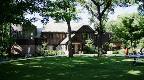
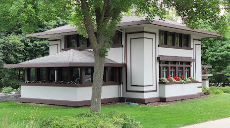
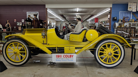
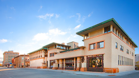
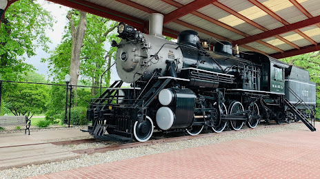
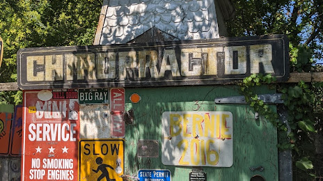
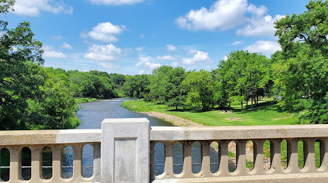
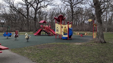
Attractions


Distance to the capital
Distance to the capital (Washington) is about — 1433 km.