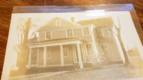
Mount Kisco — Bath County
Mount Kisco — Capron
Mount Kisco — Inkom
Mount Kisco — Warwick
Mount Kisco — Searsport
Mount Kisco — Tumtum
Mount Kisco — Dougherty County
Mount Kisco — Grand Isle
Mount Kisco — Lyons
Mount Kisco — Ridgeway
Mount Kisco — Markleville
Mount Kisco — Portland
Mount Kisco — Sieper
Mount Kisco — Watertown Regional Airport
Mount Kisco — Commerce
Mount Kisco — Royalston
Mount Kisco — Saint Paul Park
Mount Kisco — River Rouge
Mount Kisco — Dodson
Lincolndale
Brewster
Danbury
Bethel
Newtown
Southbury
Naugatuck
Waterbury
Cheshire
Southington
Plainville
New Britain
Newington
West Hartford
Hartford
Windsor Locks
Enfield
Longmeadow
Springfield
West Springfield
Chicopee
Holyoke
Easthampton
Northampton
Hadley
Whately
Deerfield
Bernardston
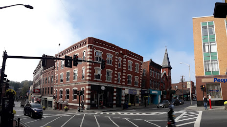
Mount Kisco — Brattleboro distance, route on the map
Distance by car
Distance between Mount Kisco, New York, United States and Brattleboro, Vermont, United States by car is — km, or miles. To travel this distance by car, you need minute, or h.
Route on the map, driving directions
Car route Mount Kisco — Brattleboro was created automatically. The road on the map is shown as a blue line. By moving the markers, you can create a new route through the points you need.
Passing cities through which the car route passes: Katonah, Lincolndale, Brewster, Danbury, Bethel, Newtown, Southbury, Naugatuck, Waterbury, Cheshire, Southington, Plainville, New Britain, Newington, West Hartford, Hartford, Windsor Locks, Enfield, Longmeadow, Springfield, West Springfield, Chicopee, Holyoke, Easthampton, Northampton, Hadley, Whately, Deerfield, Bernardston.
Distance by plane
If you decide to take a trip Mount Kisco Brattleboro by plane, then you have to fly the distance — 207 km or 128 miles. It is marked on the map with a gray line (between two points in a straight line).
Flight time
Estimated flight time Mount Kisco Brattleboro by plane at cruising speed 750 km / h will be — 16 min.
Direction of movement
United States, Mount Kisco — right-hand traffic. United States, Brattleboro — right-hand traffic.
Difference in time
Mount Kisco and Brattleboro are in the same time zone. Between them there is no time difference (UTC -4 America/New_York).
Interesting Facts
Information on alternative ways to get to your destination.
The length of this distance is about 0.5% of the total length of the equator.
The percentage of the population is clearly shown in the graph:
Mount Kisco — 10,019 (less by 3,354), Brattleboro — 13,373 residents.
The cost of travel
Calculate the cost of the trip yourself using the fuel consumption calculator, changing the data in the table.