Culver City — Elmo
Culver City — Solvang
Culver City — Scottsboro Muni-Word Field
Culver City — Dana
Culver City — East Smithfield
Culver City — Stiles
Culver City — Mifflintown
Culver City — Mullins
Culver City — Ladysmith
Culver City — Williamstown
Culver City — Bridgeport
Culver City — Mimbres
Culver City — Carlisle Barracks Army Heliport
Culver City — Dorset
Culver City — Forest Grove
Culver City — Austin
Culver City — Driggs
Culver City — Lac du Flambeau
Culver City — Dennisville
Encino
Van Nuys
San Fernando
Santa Clarita
Stevenson Ranch
Valencia
Valencia
Castaic
Sandberg
Gorman
Lebec
Wheeler Ridge
Buttonwillow
Lost Hills
Kettleman City
Avenal
Volta
Gilroy
San Juan Bautista
Interlaken
Watsonville
Freedom
Rio del Mar
Aptos
Capitola
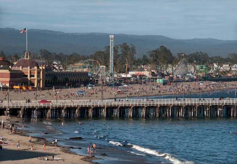
Culver City — Santa Cruz distance, route on the map
Distance by car
Distance between Culver City, California, United States and Santa Cruz, California, United States by car is — km, or miles. To travel this distance by car, you need minute, or h.
Route on the map, driving directions
Car route Culver City — Santa Cruz was created automatically. The road on the map is shown as a blue line. By moving the markers, you can create a new route through the points you need.
Passing cities through which the car route passes: Beverly Hills, Encino, Van Nuys, San Fernando, Santa Clarita, Stevenson Ranch, Valencia, Valencia, Castaic, Sandberg, Gorman, Lebec, Wheeler Ridge, Buttonwillow, Lost Hills, Kettleman City, Avenal, Volta, Gilroy, San Juan Bautista, Interlaken, Watsonville, Freedom, Rio del Mar, Aptos, Capitola.
Distance by plane
If you decide to take a trip Culver City Santa Cruz by plane, then you have to fly the distance — 465 km or 288 miles. It is marked on the map with a gray line (between two points in a straight line).
Flight time
Estimated flight time Culver City Santa Cruz by plane at cruising speed 750 km / h will be — 37 min.
Direction of movement
United States, Culver City — right-hand traffic. United States, Santa Cruz — right-hand traffic.
Difference in time
Culver City and Santa Cruz are in the same time zone. Between them there is no time difference (UTC -7 America/Los_Angeles).
Interesting Facts
Information on alternative ways to get to your destination.
The length of this distance is about 1.2% of the total length of the equator.
The percentage of the population is clearly shown in the graph:
Culver City — 40,129 (less by 14,488), Santa Cruz — 54,617 residents.
The cost of travel
Calculate the cost of the trip yourself using the fuel consumption calculator, changing the data in the table.