Sunnyvale — Flint
Sunnyvale — Westborough
Sunnyvale — Grand Marais
Sunnyvale — Ferndale
Sunnyvale — Dumfries
Sunnyvale — Batesville
Sunnyvale — Pineville
Sunnyvale — Natchez
Sunnyvale — Taft
Sunnyvale — Cross Lanes
Sunnyvale — Townsend Airport
Sunnyvale — Paris
Sunnyvale — Manning
Sunnyvale — Robertson
Sunnyvale — Midland County
Sunnyvale — Boyers
Sunnyvale — Ormsby
Sunnyvale — Crockett
Sunnyvale — Clinton
Palo Alto
East Palo Alto
Atherton
Redwood City
San Carlos
Belmont
Foster City
San Mateo
Burlingame
Millbrae
San Francisco International Airport
San Bruno
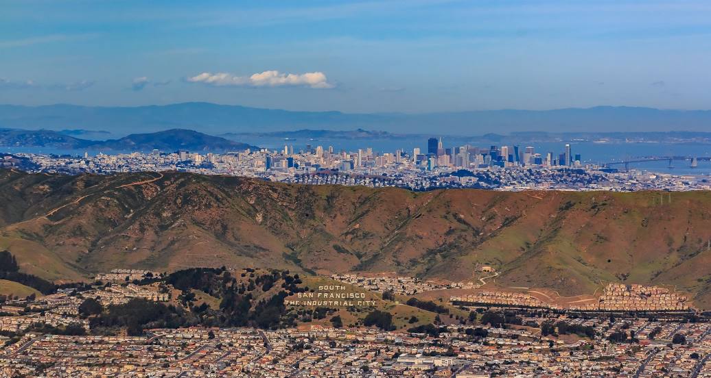
Sunnyvale — South San Francisco distance, route on the map
Distance by car
Distance between Sunnyvale, California, United States and South San Francisco, California, United States by car is — km, or miles. To travel this distance by car, you need minute, or h.
Route on the map, driving directions
Car route Sunnyvale — South San Francisco was created automatically. The road on the map is shown as a blue line. By moving the markers, you can create a new route through the points you need.
Passing cities through which the car route passes: Mountain View, Palo Alto, East Palo Alto, Atherton, Redwood City, San Carlos, Belmont, Foster City, San Mateo, Burlingame, Millbrae, San Francisco International Airport, San Bruno.
Distance by plane
If you decide to take a trip Sunnyvale South San Francisco by plane, then you have to fly the distance — 46 km or 29 miles. It is marked on the map with a gray line (between two points in a straight line).
Flight time
Estimated flight time Sunnyvale South San Francisco by plane at cruising speed 750 km / h will be — 3 min.
Direction of movement
United States, Sunnyvale — right-hand traffic. United States, South San Francisco — right-hand traffic.
Difference in time
Sunnyvale and South San Francisco are in the same time zone. Between them there is no time difference (UTC -7 America/Los_Angeles).
Interesting Facts
Information on alternative ways to get to your destination.
The length of this distance is about 0.1% of the total length of the equator.
The percentage of the population is clearly shown in the graph:
Sunnyvale — 126,499, South San Francisco — 58,555 residents (less by 67,944).
The cost of travel
Calculate the cost of the trip yourself using the fuel consumption calculator, changing the data in the table.
Calculate the cost of other distances from the starting point — Sunnyvale.